
Norway's National Parks 🇳🇴
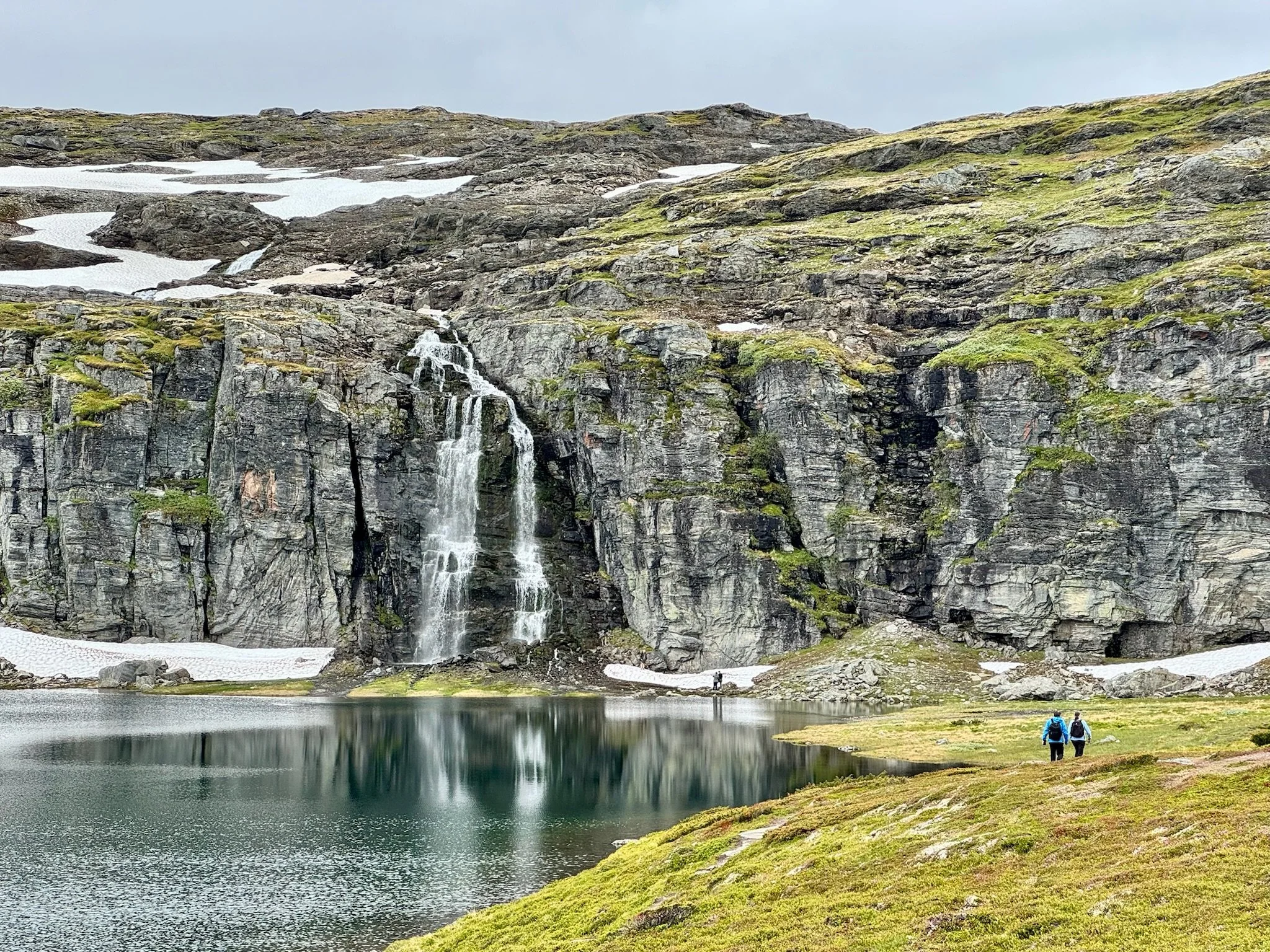
Is there another country that punches above its weight on the sporting field like Norway? Its population is only 5.6 million, yet in February 2026 it finished on top of the medal tables at the Winter Olympics, far clear of the US in second. It was the fourth consecutive time it had topped the medal tables.
We’re here in Norway in July 2026 and, to huge local excitement, Norway made it through to the quarter-finals of the hyper-competitive football World Cup. Vision of the Norwegian team pretending to be oarsmen on a rampaging Viking ship is included in promos for the World Cup around the world.
What is it about this country and these people that results in such out-performance on the sporting field? Is it residual Viking blood that’s aroused by athletic combat?
Maybe. But you don’t have to be here long to realise there’s another possibility. Norwegians have a passion for all manner of outdoor activities. Any outdoor pursuits in Norway require exceptional tolerance for inclement weather and vertiginous terrain. That’s got to generate the sort of resilience and grit that translate to successes on the sporting field.
We’re here in Norway to sample some of the walking areas in the region between Bergen and Oslo. At the same time, we’ll work on our theories for Norway’s sporting over-achievements.
Where to walk in Norway?
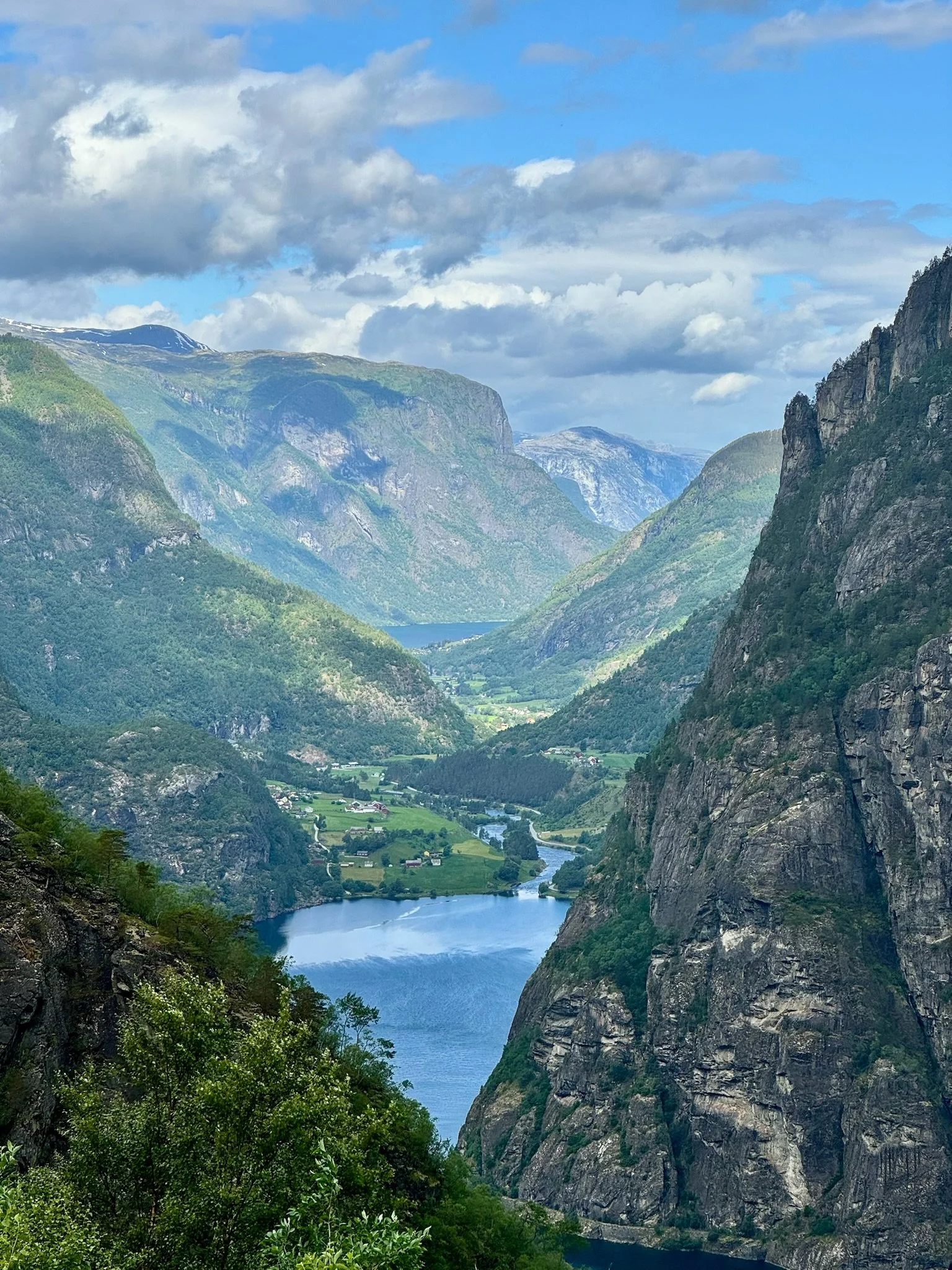
“Landscape on steroids” is a recurring thought when hiking in Norway. Norse wilderness looms large everywhere from fjords, lakes and waterfalls to mountains and forests.
There is so much to see but with the prime hiking destinations spread widely throughout this elongated country, it can be tricky planning a walking holiday in Norway.
We chose to concentrate on southern Norway, between Oslo and Bergen. In particular, we honed in on three national parks - Hardangervidda, Hallingskarvet and Jotunheimen - as well as the Sognefjord region.
Hardangervidda National Park
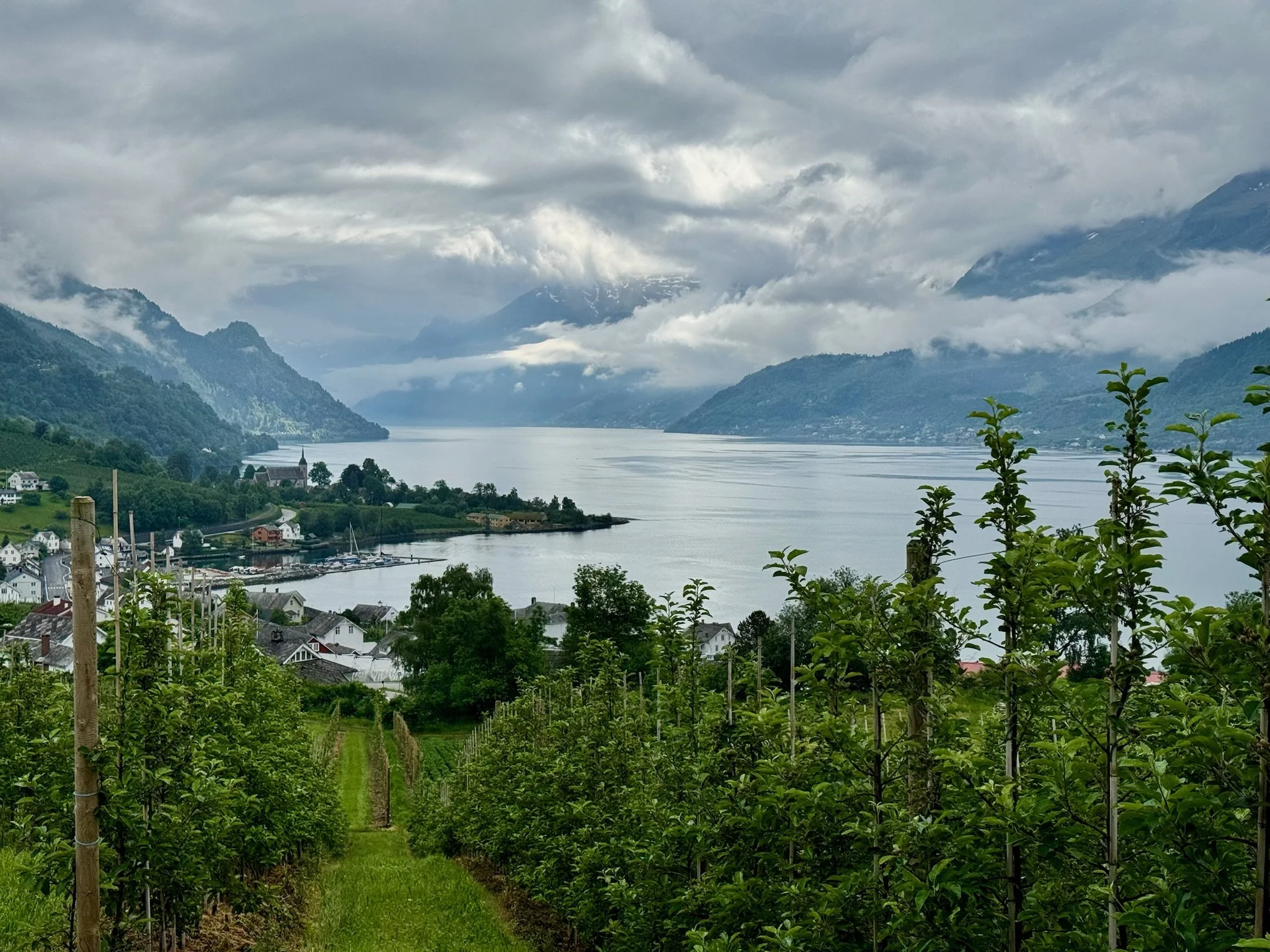
Hardangerfjord is the third longest fjord in the world. The region it inhabits, including the Hardangervidda National Park, could easily be called the Land of Mighty Fjords and Waterfalls. Once there, it becomes easy to see why its majestic scenery has inspired many creatives over the centuries including the revered Norwegian composer Edvard Grieg and artist Hans Gude.
The arm of Hardangerfjord that runs from Utne down to Lofthus and Odda (and bears its own name, Sorfjord) is one of the most picturesque sections of Hardangerfjord and presents some mouth-watering walking opportunities.
The most high-profile day hike in the vicinity of Sorfjord is the Trolltunga (“Troll’s Tongue”). The view from the protruding tongue to Sorfjord, almost vertically below, is one of Norway’s most famous sights. Getting there is quite an effort. From the main trailhead at Skjeggedal, the round-trip hike is 27 kilometres with an ascent of almost 800 metres. With the aid of a shuttle bus, you can get to a trailhead at Mågelitopp. From there, the return hike is 20 kilometres, with an ascent of about 320 metres. For the round-trip from Mågelitopp, most walkers take 7–8 hours.
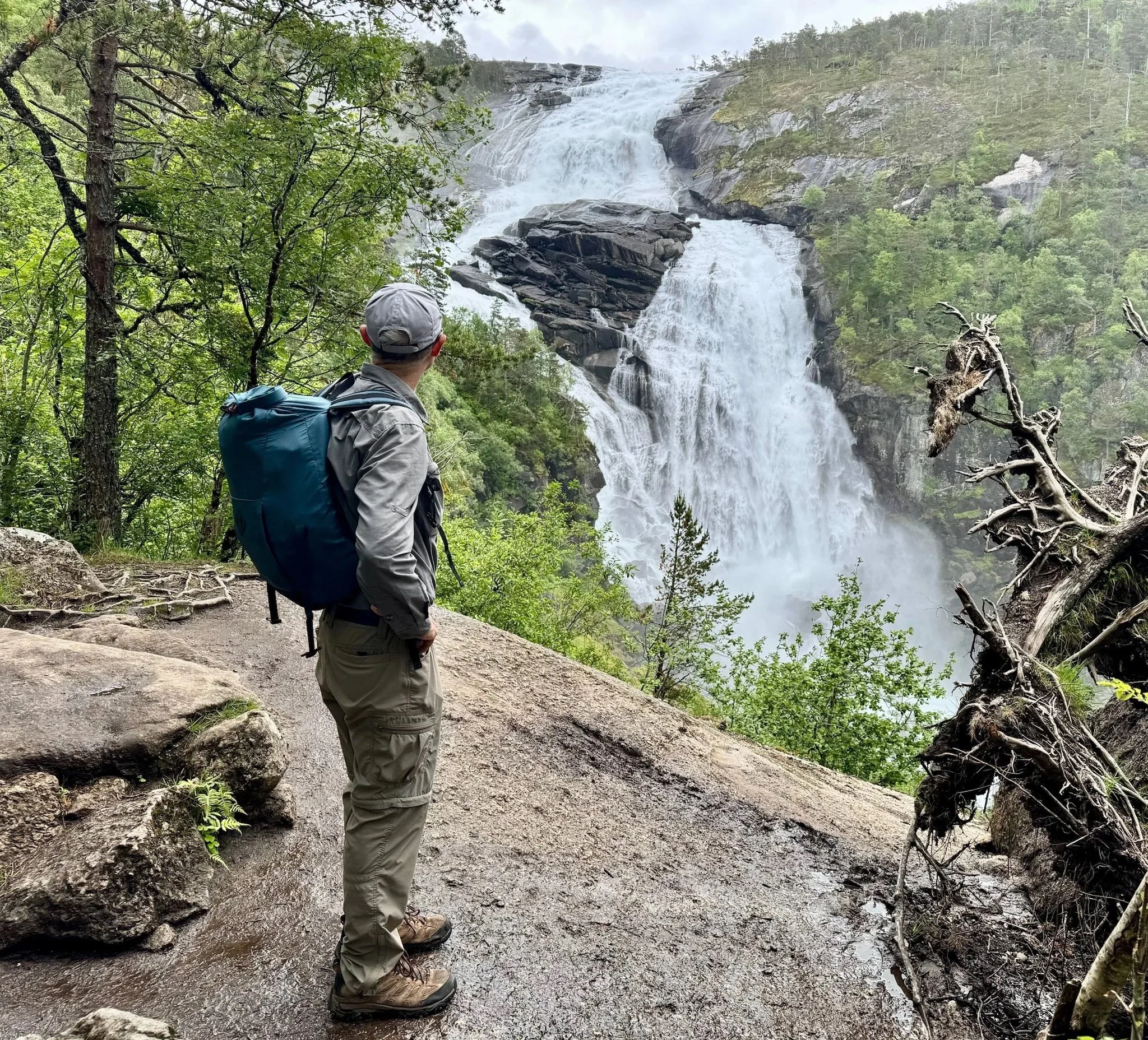
Not far from Trolltunga, the Husedalen Valley is known for its Waterfall Trail. This steep and lushly vegetated walk takes in four powerful waterfalls of differing sizes and composition. It’s an absolute favourite with the locals who typically ascend via the steep track that hugs closely each of the falls and then descend on the less steep gravel path.
If a royal connection adds to the lustre of a walk for you, try HM Queen Sonja’s panorama hiking trail that runs for 16 km between Kinsarvik and Lofthus. Queen Sonja is Norway’s current queen and this walk is said to be her favourite. She’s now a sprightly 89 year-old, so living proof of the benefits of walking!
The multitude of powerful waterfalls in Hardangervidda National Park draws to mind the massive role hydro-electricity plays in Norways electricity generation mix. Incredibly, about 90% of Norway’s power is generated by hydro-electricity!
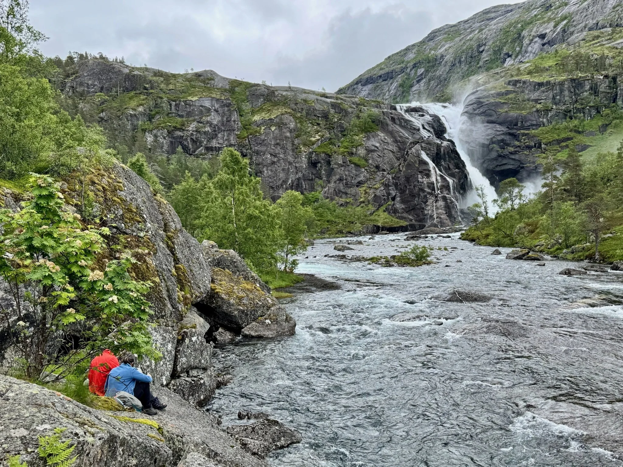
Hallingskarvet National Park
Next stop for us was Hallingskarvet National Park which can be accessed via the Hardangervidda Scenic Route between Eidfjord and Geilo. The highlight of the scenic route is the extraordinary Vøringsfossen waterfall. The viewing platforms and suspended bridge surrounding this huge waterfall provide a 360 degree perspective and are an impressive engineering feat.
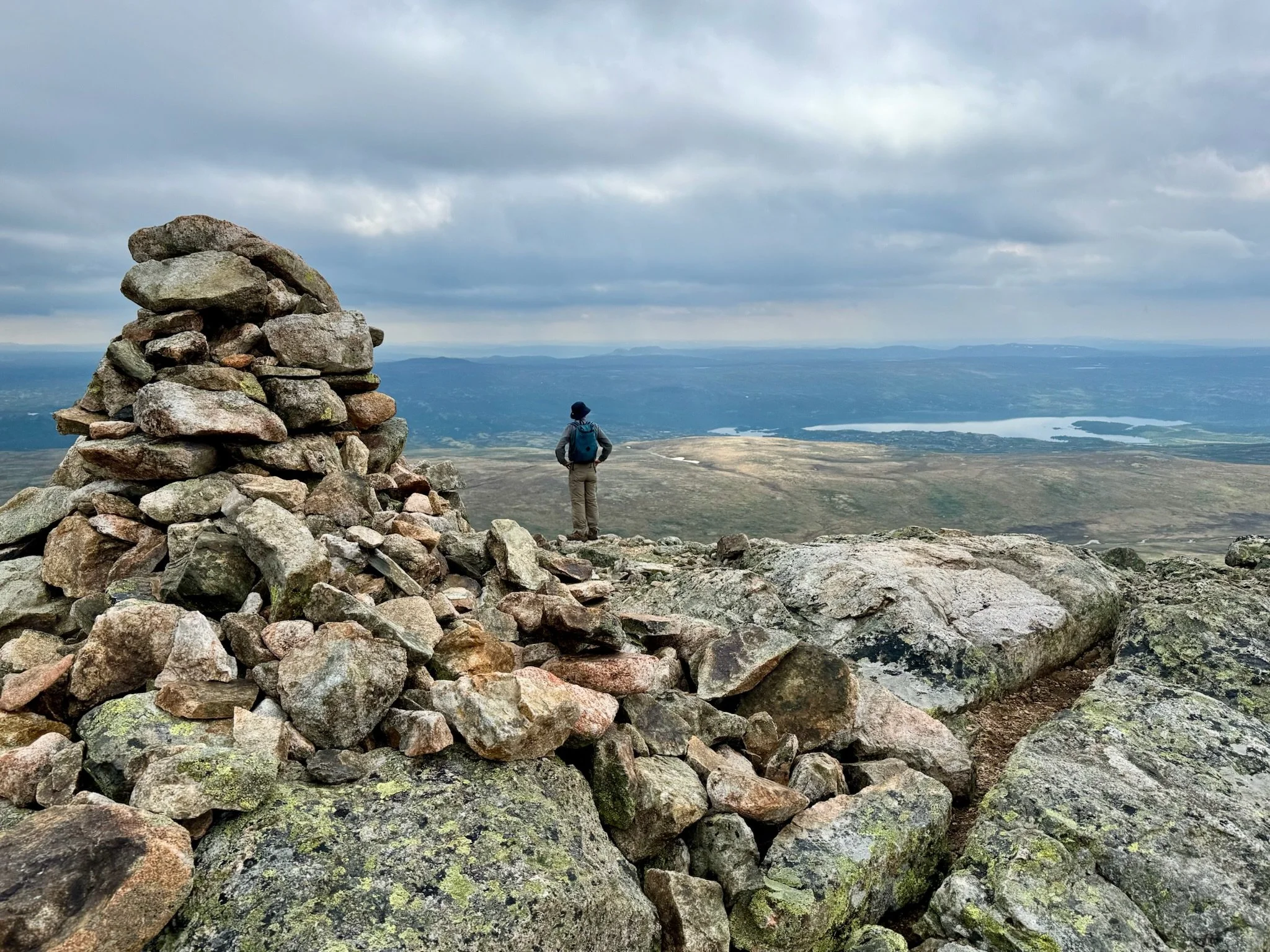
Geilo is a ski town and provides ready access to the Hallingskarvet mountain plateau. We did the Prestholtrunden Loop Walk which started with a steep incline up 2,000 stone steps surprisingly laid by Nepalese Sherpas between 2011 and 2013.
Our efforts were well rewarded at the top of the Hallingskarvet mountain with sweeping views over the nearby plateaus and lakes plus an “other worldly” rocky terrain. Importantly, the walk starts and finishes at the Prestholtseter Cafe. The cafe is known for its scrumptious waffles and crepes (each of which must be consumed with lashings of jam and cream) as well as its annual August performance of Skarvespelet, featuring Norwegian folklore and its gruesome trolls.
Our other main Hallingskarvet National Park hiking experience was at Finse. Finse is located at an altitude of 1,222m, up on Hallingskarvet’s elevated rocky plateau and beside lake Finsevatnet. It can only be accessed by foot, bicycle or train and is comprised of the historic Hotel Finse 1222, a handful of mainly rail related buildings and a smattering of small holiday cabins.
The most popular day walk from Finse is to Hardangerjokulen, Norway’s sixth largest glacier and its most accessible. You can walk to the glacier’s edge in a few hours but it’s also common to join a guided trip and cross part of the glacier itself.
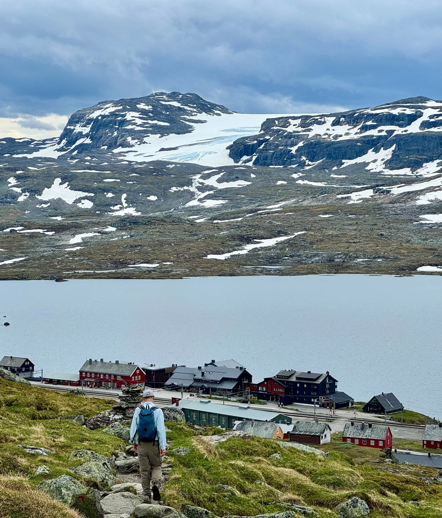
Despite its remote locale, Hotel Finse 1222 has been visited by numerous celebrities (their pictures adorn one wall) and was the site of the filming of Star Wars instalment ‘The Empire Strikes Back’. It boasts plush lounge and dining areas that provide panoramic views over the lake and glacier.
Sognefjord region
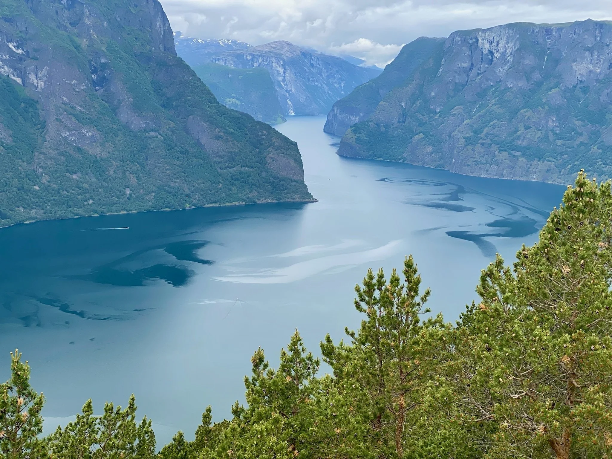
From Finse, we headed north to the eastern reaches of Sognefjord. Sognefjord is Norway’s longest and deepest fjord. It lies in the heart of ‘Fjord Norway’ and extends from the coast to the foot of Jotunheimen National Park.
A rewarding and popular day-trip in Sognefjord involves walking between Flåm (on the fjord) and Myrdal (up in the mountains). It’s 21 km with a height change of 800m. Many people walk one-way and then use the historic Flamsbana railway to return. Needless to say, most walkers choose to train up and walk down. An alternative way of getting down is a zip-line combined with a bike. We should have done that; it looked like a lot of fun and our knees would have thanked us!
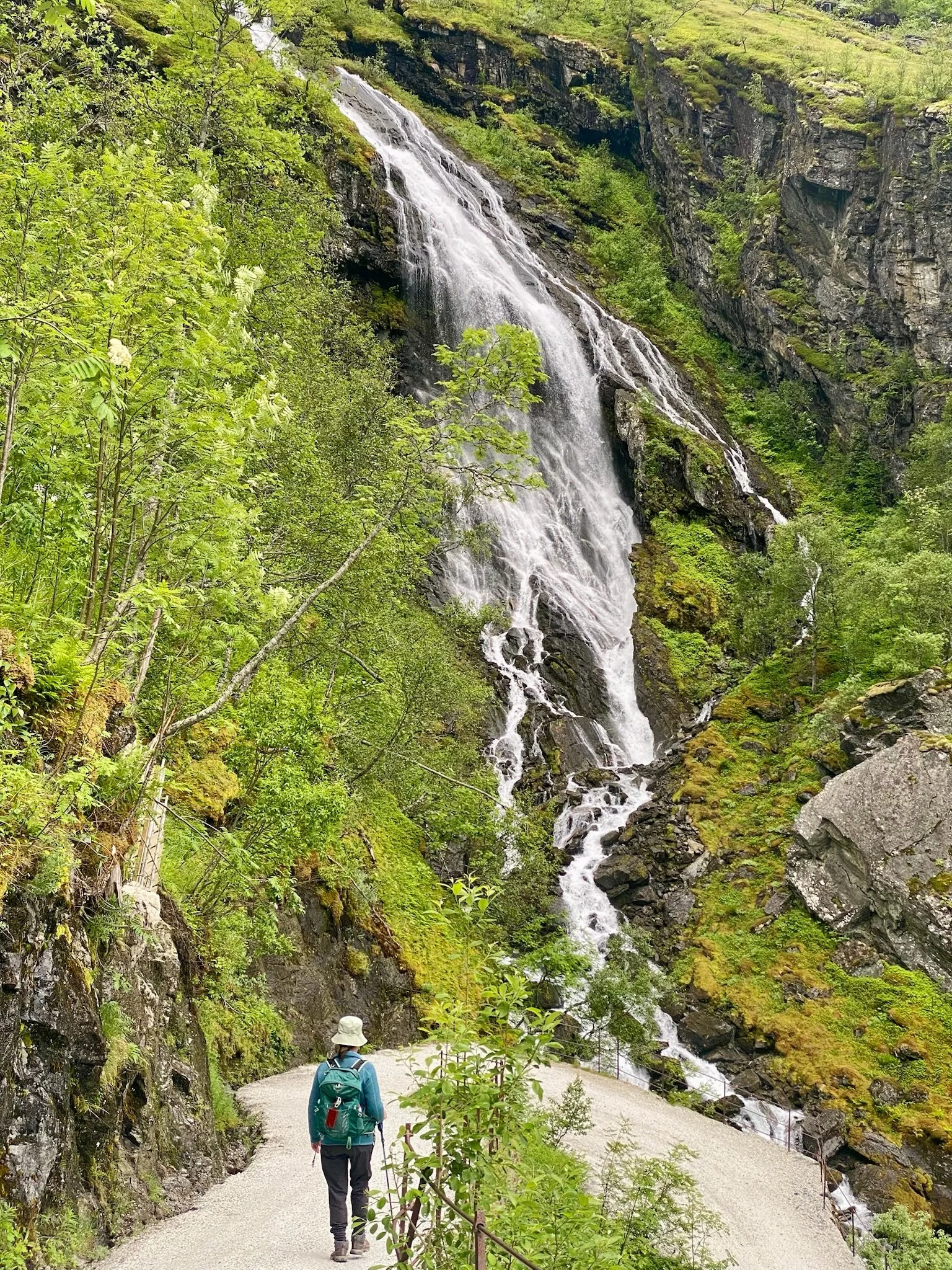
Flåm is a great base for ferry trips to the World Heritage listed Naeroyfjord (a branch of Sognefjord) and the elegant fjord-side village of Aurland.
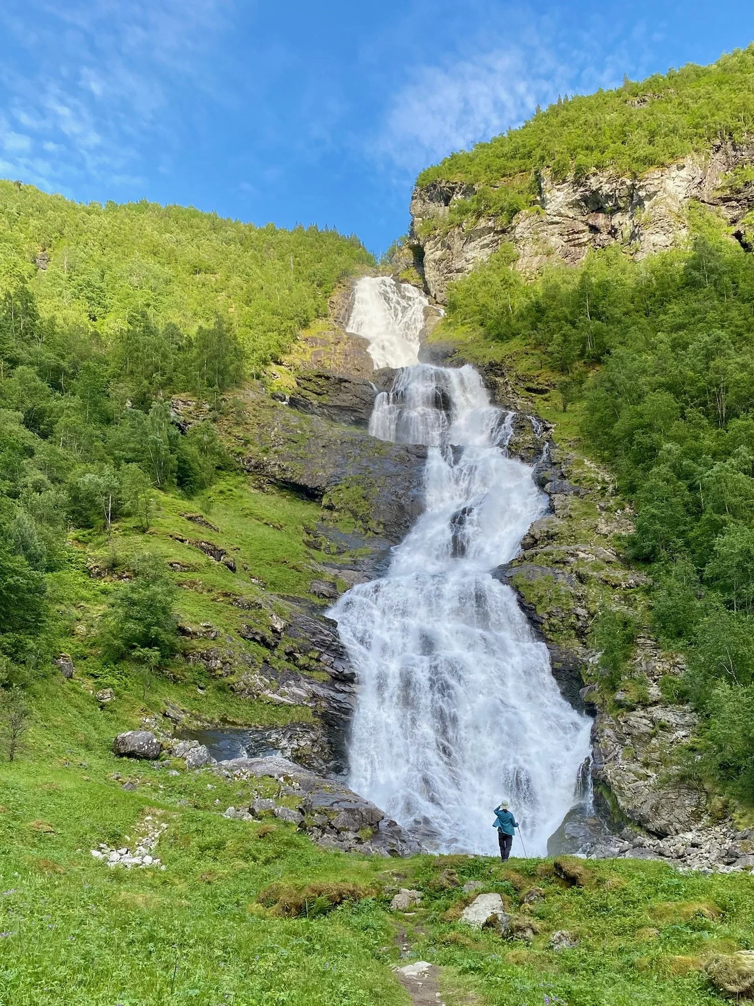
Eastern Sognefjord is also home to the Utladalen valley and the Vettisfossen waterfall. Vettisfossen has a free-fall of 275m, the biggest waterfall drop in Northern Europe. Utladalen valley is wild and dramatic and the trail passes several impressive falls before finally reaching Vettisfossen. Shortly before Vettisfossen, an attractive, historic farmhouse converted into a walkers hut provides accommodation and refreshments.
Jotunheimen National Park
A little north-east of the furthest reaches of Sognefjord lies Jotunheimen National Park. Jotunheimen, meaning ‘land of the giants’, is home to Norway’s highest mountains and its best cabin/hut network. So, it’s extremely well-placed for both day walks and multi-day walks.
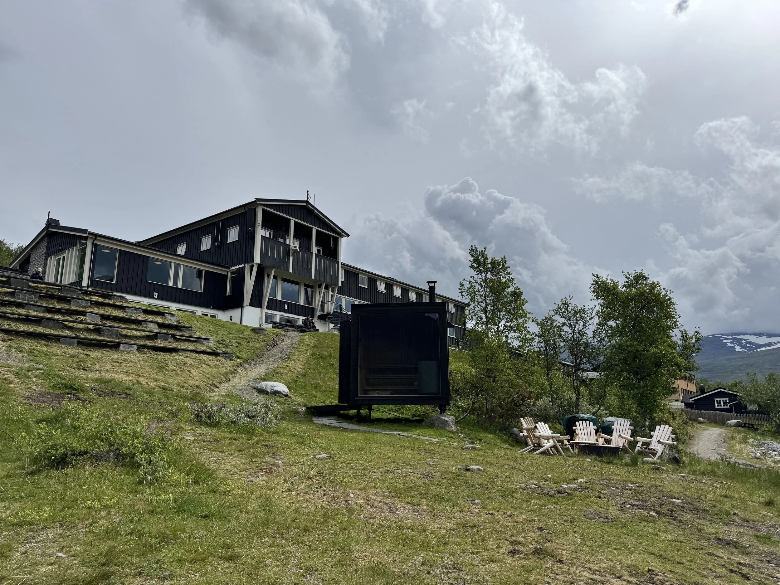
Most of the huts and cabins belong to the DNT, an acronym for the Norwegian Trekking Association. The DNT is a member owned association that operates a vast network of cabin accommodation throughout Norway.
During the walking season, the larger DNT huts provide no-frills but comfortable half-board accommodation in both private and dormitory rooms. Communal dining and cosy lounges promote socialising with the mix of local and international walkers. Smaller DNT huts may not be staffed or provide meals.
In the southern portion of Jotunheiment National Park, the Gjendesheim DNT hut is one of the best known DNT huts. It’s situated right on the attractive Gjende lake and provides ready access to Bessengen Ridge. The walk from Gjende lake up and along Bessengen ridge and back down to the lake is renowned as one of Norway’s best day walks. It’s quite a challenging, steep ridge walk with a few hundred metres of very airy rock scrambling/climbing.
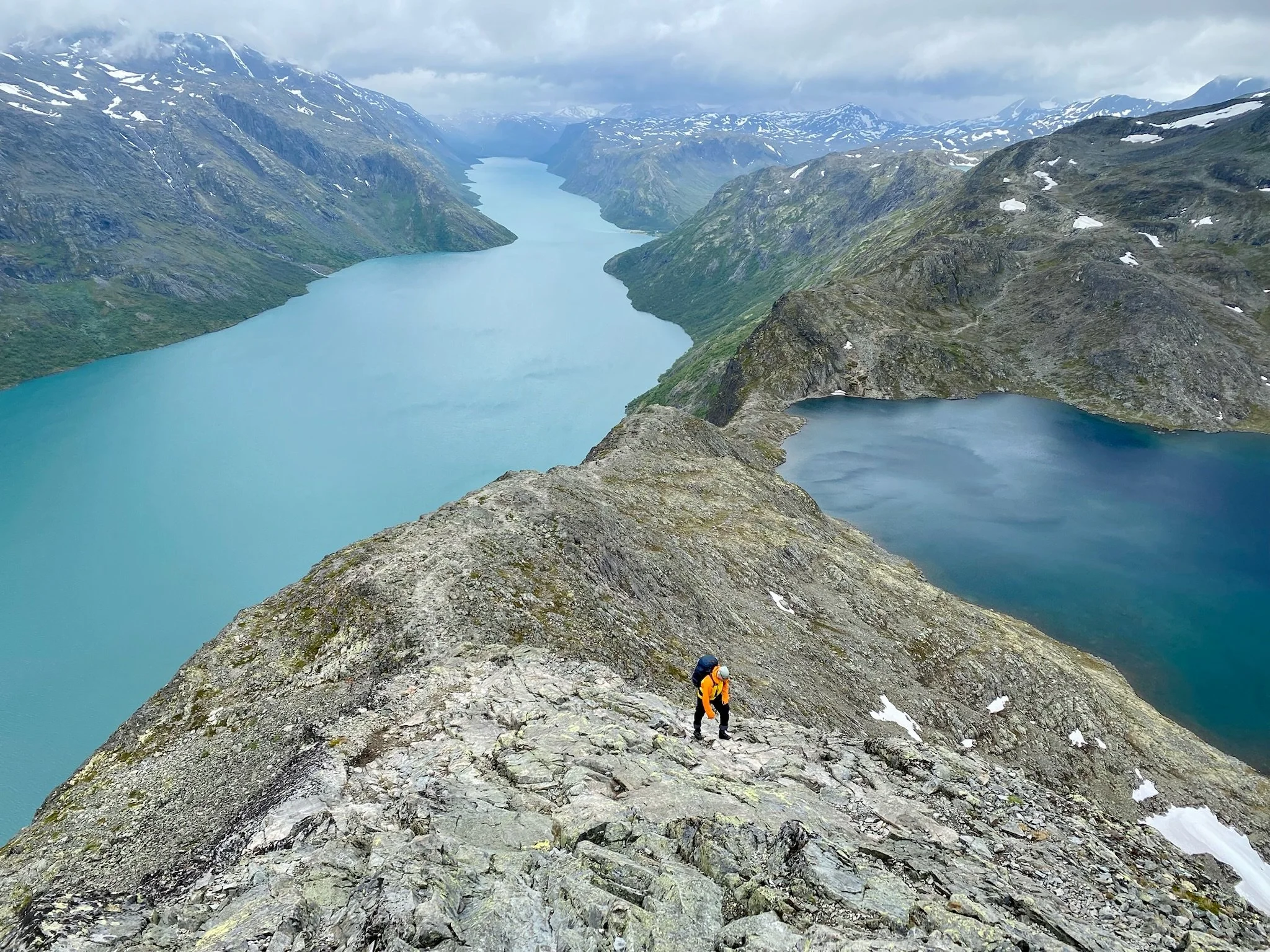
The distinctive feature of this walk (other than the section just mentioned!) is that the ridge separates Gjende lake and another lake, Bessvatnet. Gjende has the acqua colour of a glacier fed lake, while Bessvatnet is the steely blue of a mountain plateau lake. The contrasting colours of the lakes make for stunning views and photos. On the day we’d allocated to the walk, rain was forecast from early afternoon. The wet weather arrived on cue, making for a slippery last couple of hours. To my amazement, as our walk concluded there were Norwegians nonchalantly heading out.
Another feature of walking in the southern portion of Jotunheimen National Park is that the ferries that ply lakes Gjende and Bygdin can be incorporated into your walking itinerary. For example, the most common way to undertake Bessengen Ridge is to get the ferry from Gjendesheim to Memurubu and then to walk back to Gjendesheim via Bessengen Ridge.
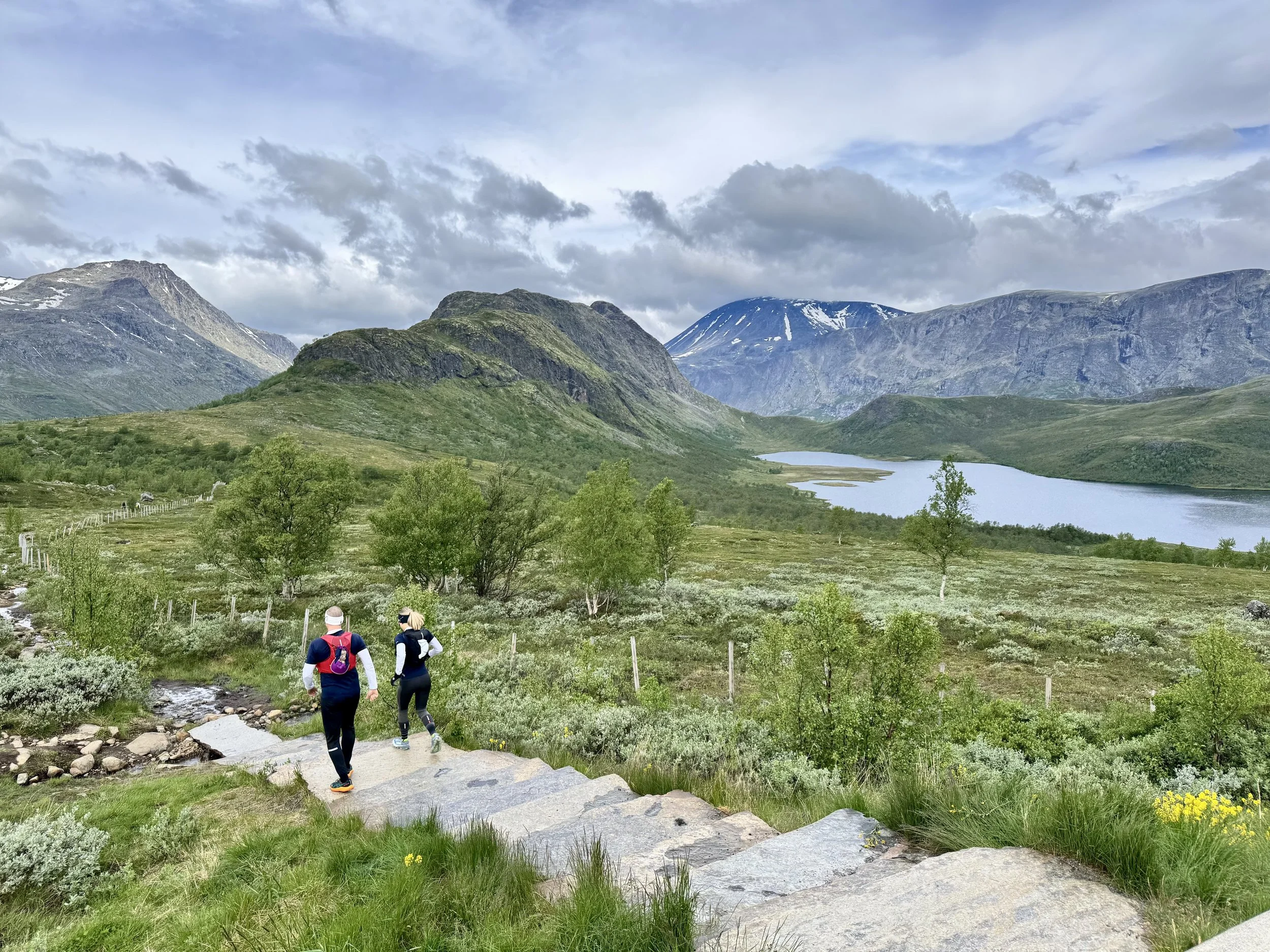
During our two weeks exploring walking locations in southern Norway, we were fortunate to meet many Norwegian walkers. Without exception, they were welcoming and encouraging of our explorations. And, getting back to Norway’s sporting successes, the walkers we met positively oozed hardiness and resilience!