
Stockholm Archipelago Trail 🇸🇪
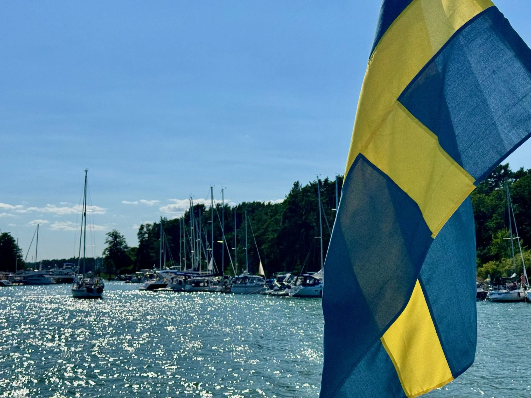
Lasse casually tosses the mooring lines aside and shoves the throttle forward. He’s manoeuvring the taxi runabout from a microscopic rocky harbour. There are only inches on either side but he doesn’t seem to be looking. He’s animatedly recounting how this bolt hole freezes over in winter and how he breaks the ice by hand to get out.
The miniature harbour is on the island of Öja-Landsort in Stockholm’s archipelago. The island measures 5 km x 500 metres. Lasse is one of 20 inhabitants and has lived there for 40 years. He’s been a sea-pilot, navigating ships through the treacherous archipelago and now does a bit of everything, including ferrying walkers doing the Stockholm Archipelago Trail from island to island.
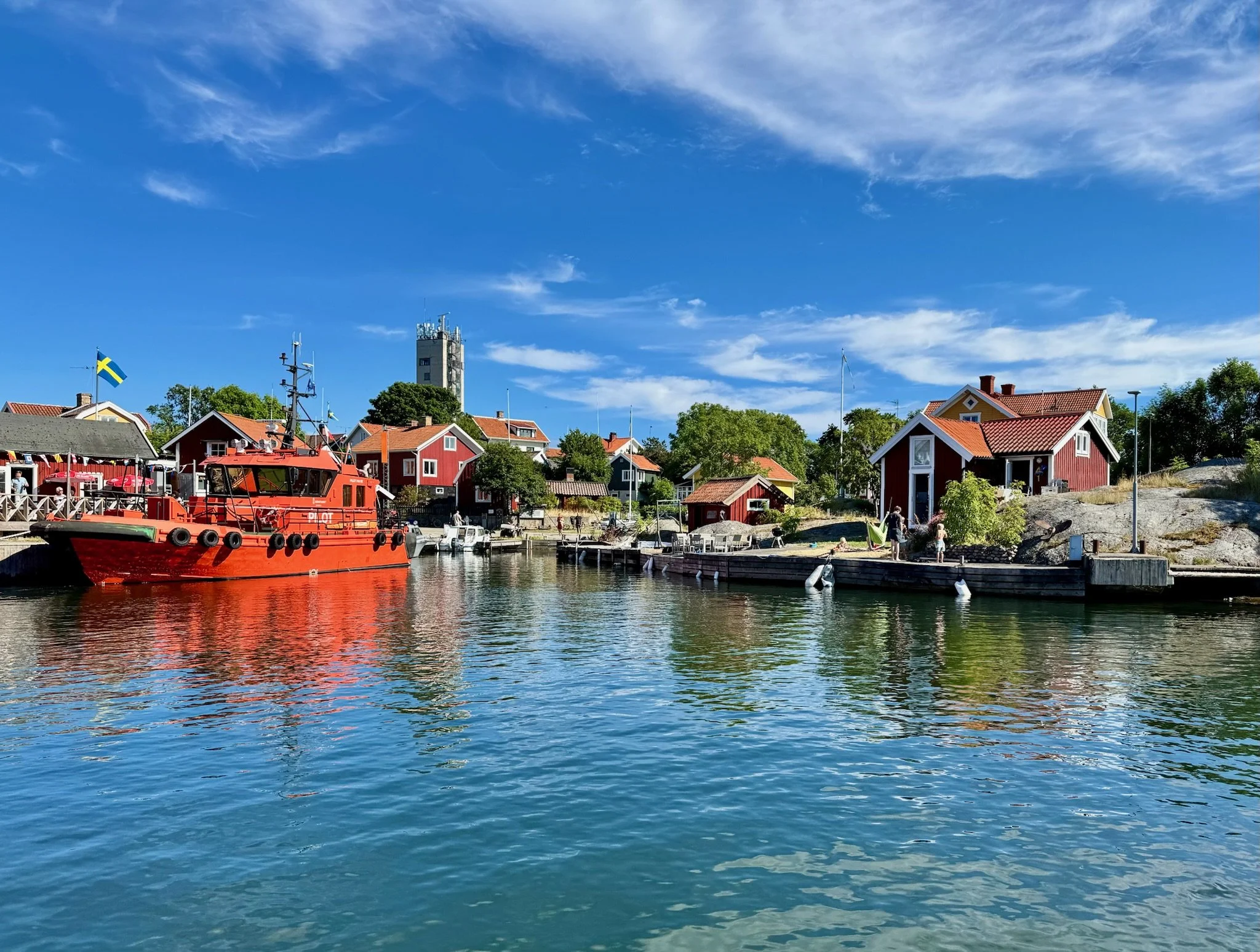
As we bounce along at top speed heading towards our next island destination, the Baltic Sea breeze tears at our clothes and spray washes our faces. At any other time of year this trip would be an ordeal, but it’s mid-July and the wind is warm and welcome. Lasse keeps up a running commentary as we pass dozens of islands and atolls. By the end of the trip we’ve seen his favourite spots to swim, fish and hunt wild boar.
The Stockholm Archipelago
The Stockholm Archipelago is one of the world’s largest archipelagos, comprising around 30,000 islands, islets and rocky skerries that fan out in an easterly direction from Stockholm into the Baltic Sea.
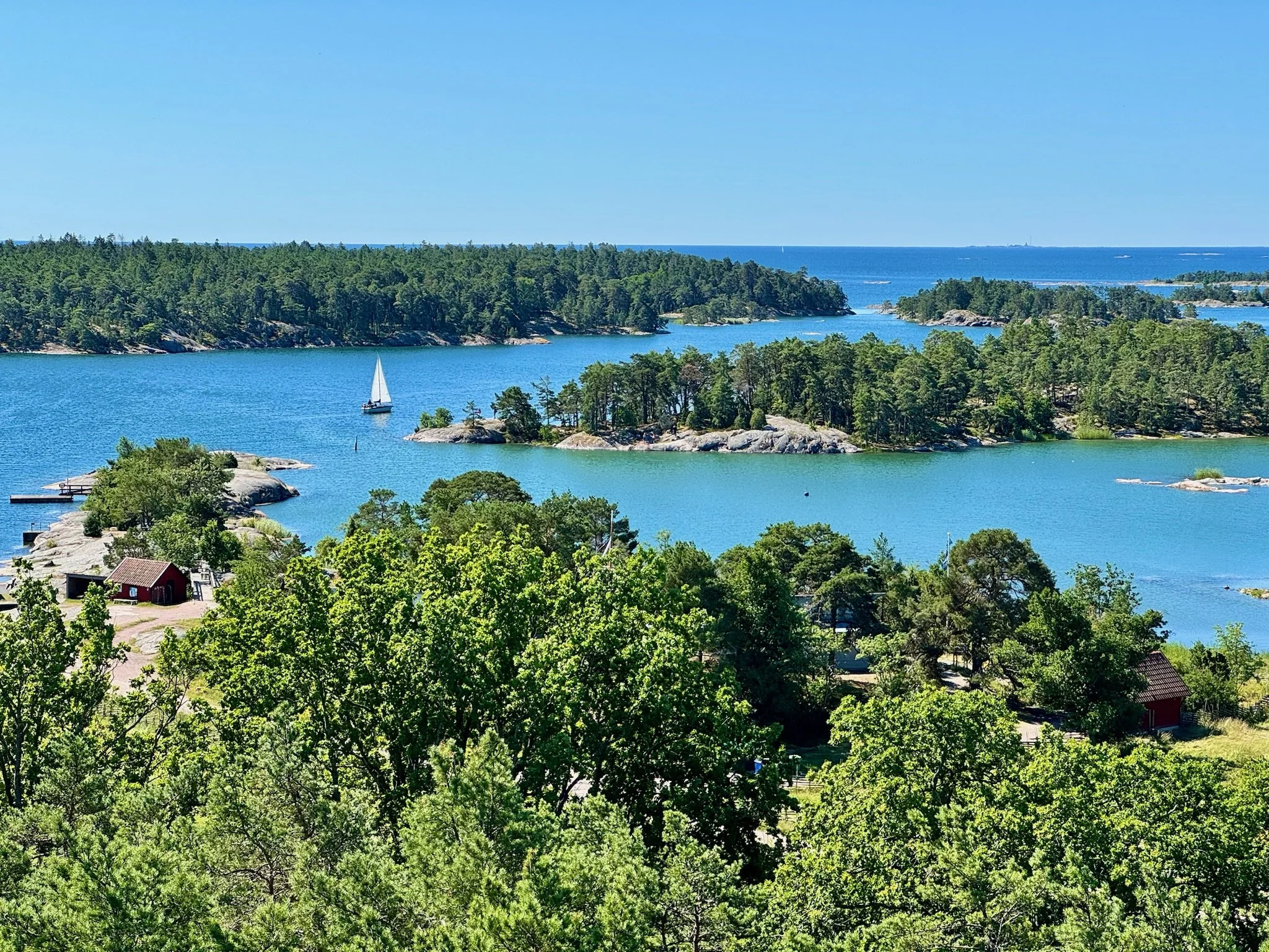
Its landscape ranges from lively inhabited islands with picturesque villages, harbours and summer cottages to remote, windswept outcrops where seals and sea birds rule. The inner islands are easily reached by frequent passenger ferries, while the outer archipelago offers a quieter, more rugged character with open sea views and traditional fishing communities.
The archipelago is Stockholm’s summer playground. There is virtually unlimited scope for boating, kayaking, swimming, hiking and cycling. But because the region is so vast, and the network of ferries and water taxis so extensive, it never seems crowded and finding your own cove or beach or trail is a doddle.
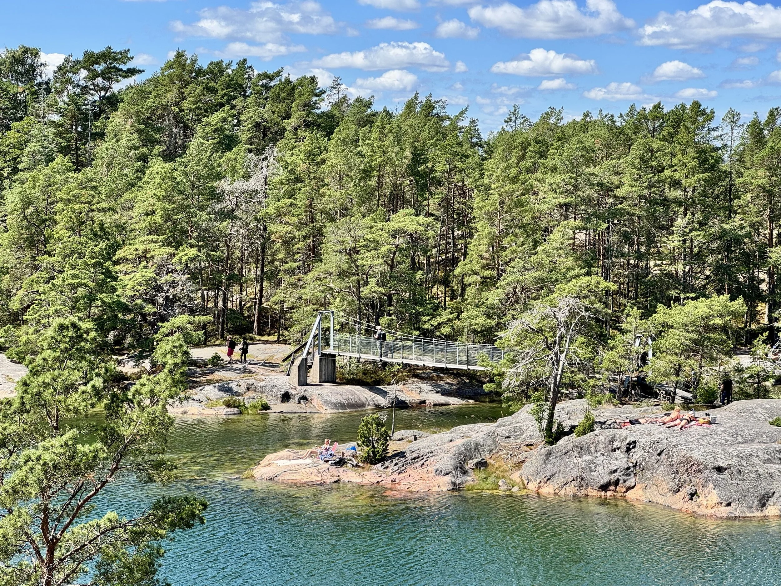
Islands here consist of giant granite boulders covered in colourful lichen and moss. But the real surprise is the dense vegetation. Notwithstanding the rocky nature of the islands, they host undulating forests of pine, birch and oak plus an abundance of grasses, ferns and wildflowers. Sea bathing can be followed by forest bathing!
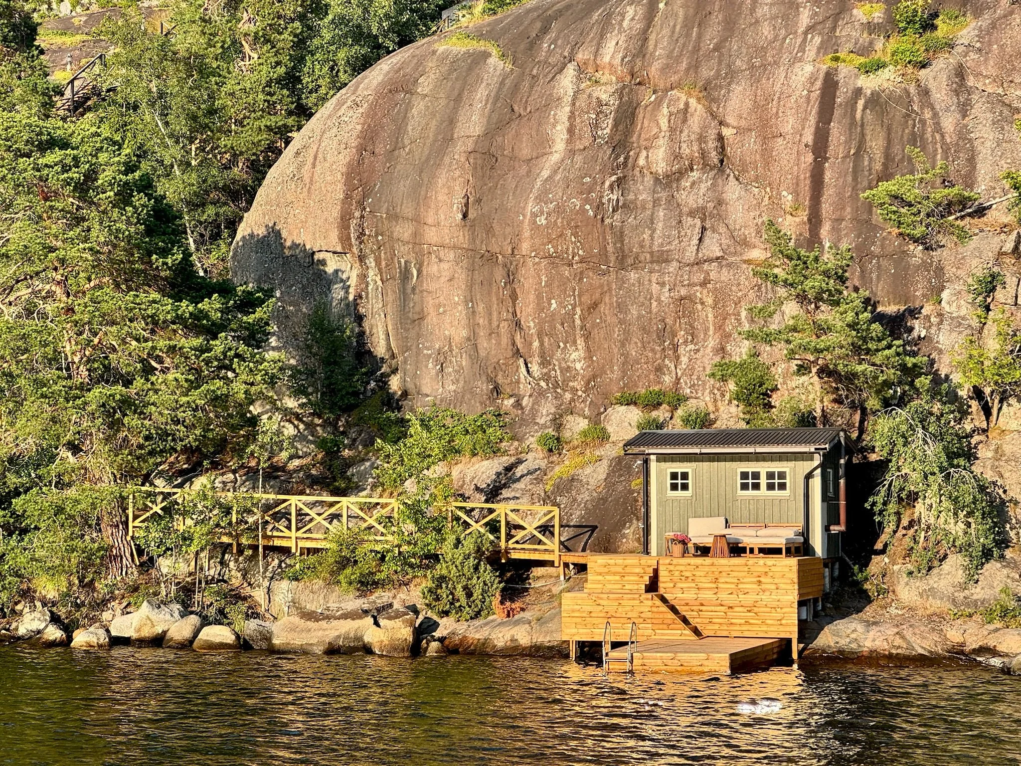
Each island has its own charm and aesthetic. There is a mix of quaint boat harbours, small marinas, simple wooden jetties and cosy cafes/restaurants. Rustic holiday shacks are dotted around the islands. These traditional wooden cabins are often painted red with white trims, all befitting of a Nordic fairytale.
Stockholm Archipelago Trail
The Stockholm Archipelago Trail (SAT) is a recent creation, having been established in late 2024. It covers 270 kilometres and extends over 20 islands.
The trail ranges from Arholma in the north of the archipelago to Öja-Landsort in the south. The islands that the SAT visit all have ferry connections allowing you to progress from one to the next.
Tracks are well waymarked with the SAT blue/silver/yellow striped waymarkers so there is no fear of getting lost. However, SAT trails do not always follow a conventional path. Instead you are, at times, crossing massive granite slabs and rocks, which adds to the sense of adventure.
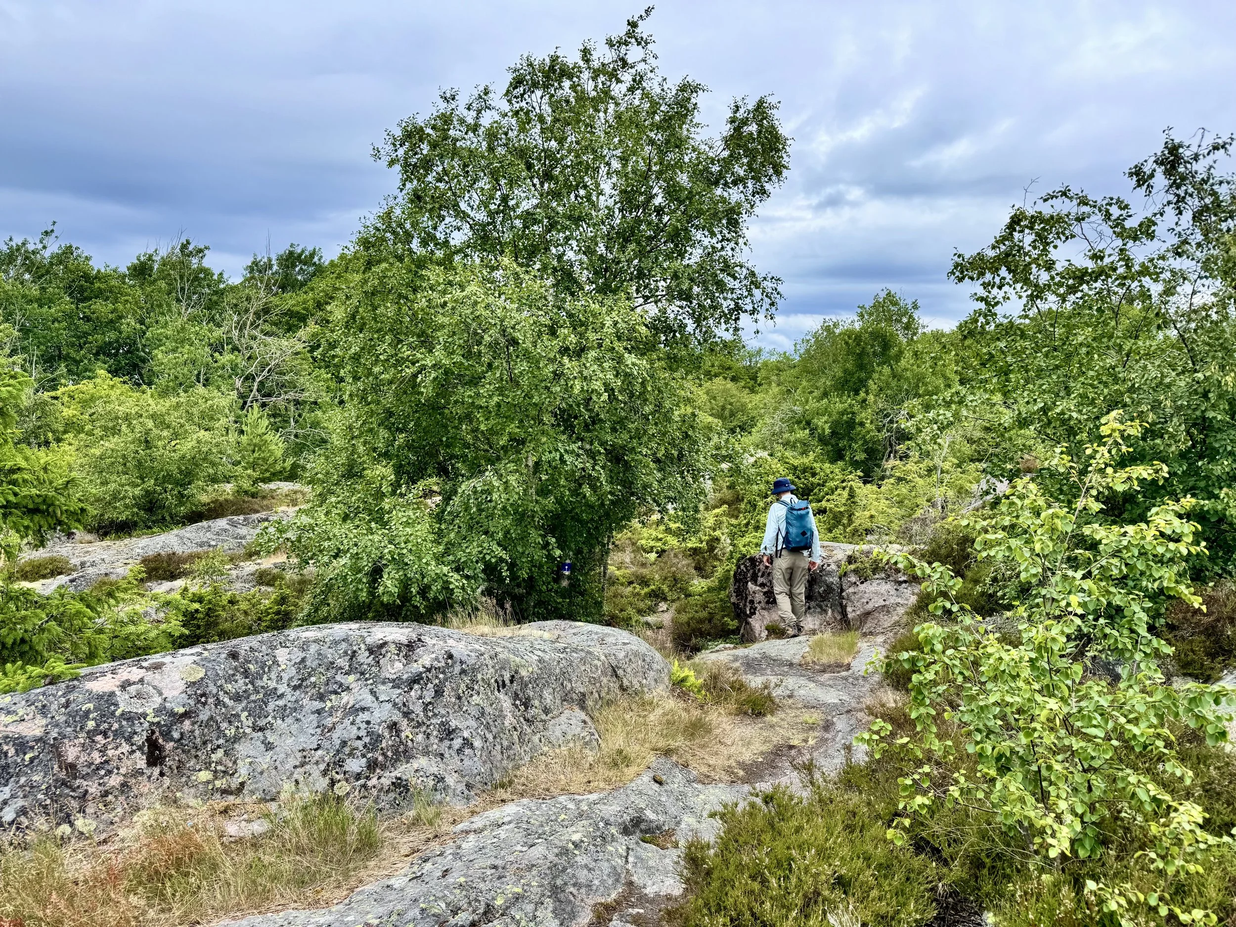
Our Taste of the SAT
Our taste of the Stockholm Archipelago Trail focused on the islands in the south of the archipelago. This meant that, amongst others, we visited Öja-Landsort, Uto and Alo.
Öja-Landsort, home to the above-mentioned Lasse, is located at the southern most point of the archipelago. Most of it is a protected nature reserve and it’s renowned for a sense of untouched charm.
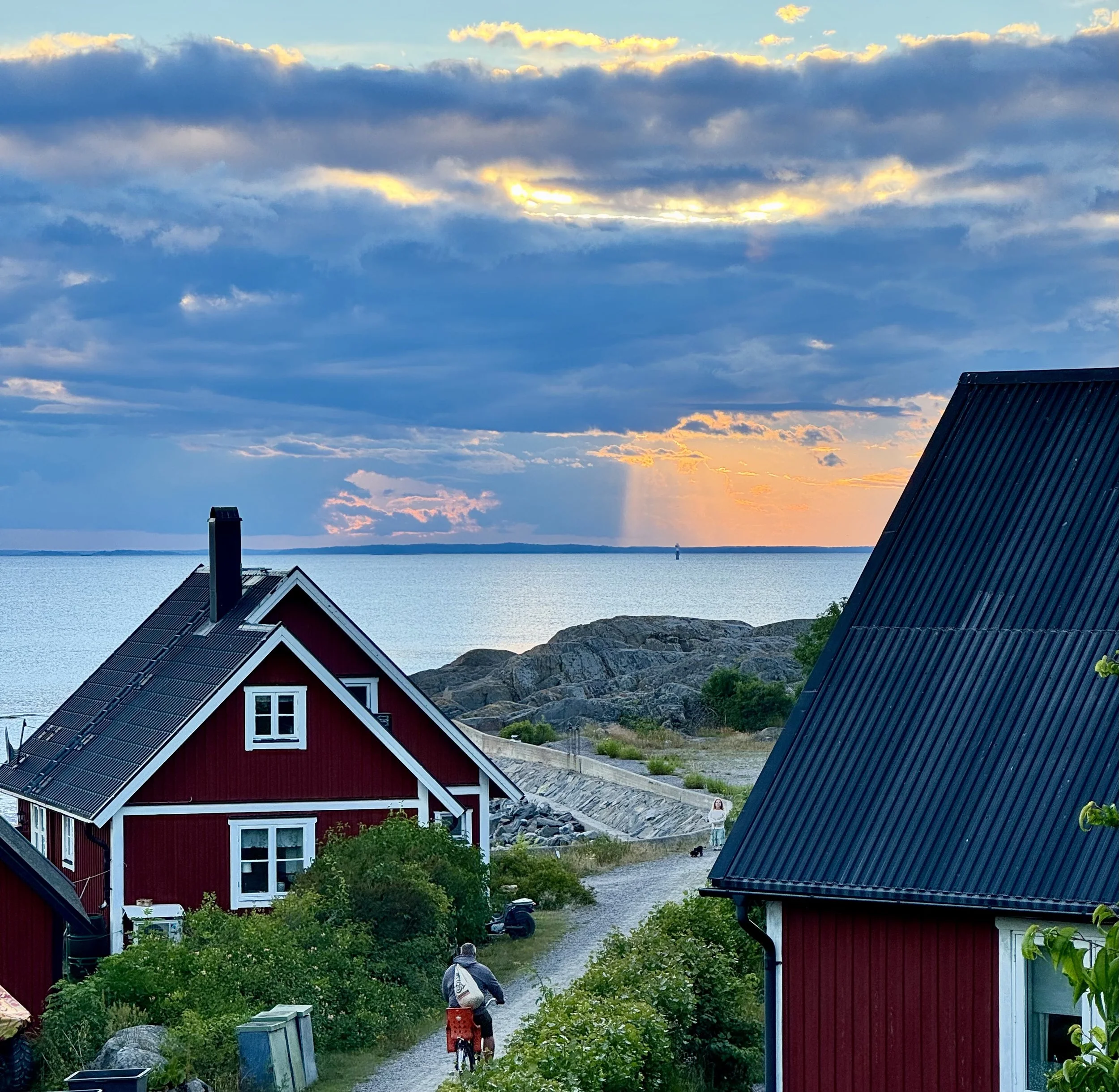
The SAT trail on Öja-Landsort runs along the middle of the island through a narrow valley shielded from the elements by granite ridges running parallel to the valley. This protection has created a micro-climate that hosts a plethora of lush plants. The SAT walk around the island is about 12 km and at a leisurely pace takes 4/5 hours.
In addition to walking, there is history to explore on Öja-Landsort. The Landsort Lighthouse is one of the oldest lighthouses in Sweden dating back to the 1600’s. It still functions today, warning passing vessels of the dangerous coastline just as it has for centuries past.
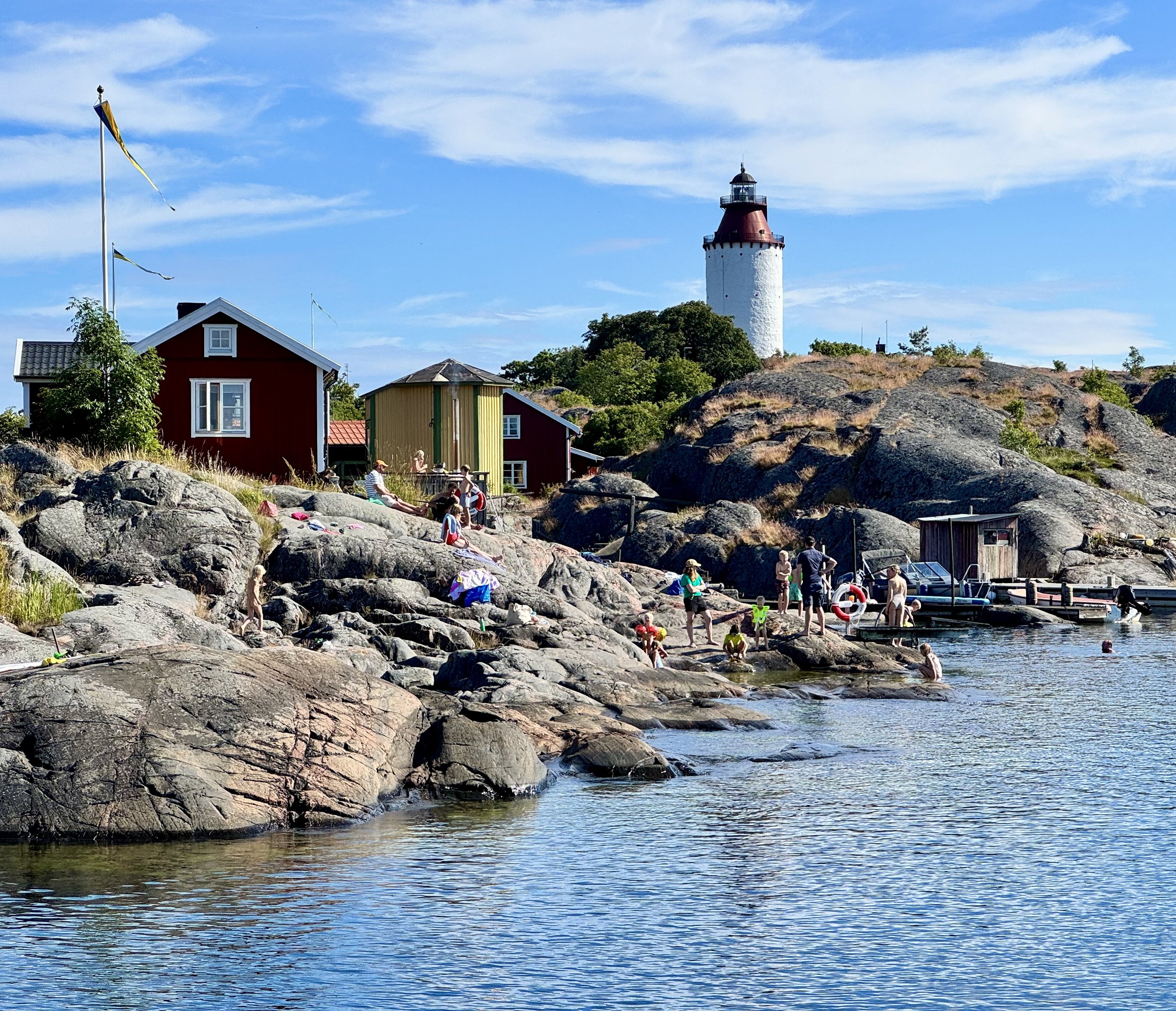
Öja-Landsort also played a significant role in Sweden’s military defence during the Cold War. Landsort Battery was one of the world’s most high tech and secret defence systems until the beginning of the 2000’s. Today you can visit the former bunkers, including one which was designed to withstand nuclear attacks.
North of Öja-Landsort lie the islands of Uto and Alo. Alo is home to ten permanent residents and offers a particularly wild and pristine environment. The Alo portion of the SAT is said to be the most challenging section of the SAT. There are certainly lots of dips and bumps that require some attention and effort but overall the Alo trail is moderate and accessible to a wide range of walkers.
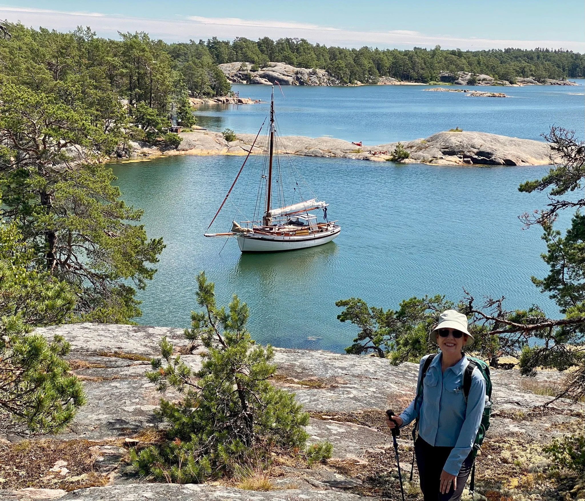
An interesting aspect of walking on all the islands is that, along the way, you see neighbouring islands/atolls, all manner of boat craft and sunbathers/picnickers enjoying their favourite private cove. Bird life is prolific and there are deer on the bigger islands.
From our final island of Uto, our return to Stockholm was via the regular passenger ferry that services Uto. The four hour trip on a beautiful day was fascinating and picturesque. We lost count of the number of mostly small settlements we called upon and the narrow waterways on the approach to Stockholm are intriguing. A very pleasing way to conclude a taste of the archipelago.
In a nutshell
The Stockholm Archipelago has long been a summer playground for Swedes, keen to immerse themselves in nature and soak up the sun after many months of bitterly cold weather. Now the region’s wonders have been opened up to walkers via a well-designed route that knits together foot and ferry travel.
From a walker’s perspective, it’s rare for a multi-day walk to be so connected to the sea. Whether it be glimpses of water from afar or full-on headland exposure, the Baltic Sea is an intrinsic part of the walks.
There is a seasonal constraint to undertaking this walk. Both in terms of ferry services and weather conditions, it’s really only feasible to walk the SAT in the period from mid-June to late August. Outside those times, the number of islands serviced by ferries reduces significantly and the weather becomes less hospitable.