Swiss Via Alpina
Why this walk?
Switzerland has strong claims to being the world’s best country for mountain walking. Spectacular scenery, an extensive and well-marked track network, numerous mountain huts and attractive villages. For some, the vast web of cable-cars, gondolas and chairlifts adds further to the appeal, although for others this is a negative.
The Swiss Via Alpina (aka Swiss National Walking Route 1) is the quintessential Swiss multi-day walk. It crosses the entire country from east to west, following the most dramatic of Switzerland’s alpine regions and showcasing the best of its mountain culture.
The official start of the Via Alpina is Vaduz in Lichtenstein. From there, it runs for 390km to Montreux on Lac Leman (aka, Lake Geneva). Along the way, the Via Alpina crosses 16 passes and delivers 23,000m of height gain.
The central section of the walk passes through the Bernese Oberland and is the most popular. This section includes the Grindelwald basin which provides close-up views of the famous Wetterhorn, Eiger, Monch and Jungfrau peaks. The central section, as well as the western and eastern sections, are often undertaken as stand-alone, week-long walks.
My version of the Via Alpina
I finished the Haute Route in Zermatt on 7 July. I was due to fly home on 22 July, so (allowing 8 July as a rest day in Zermatt and 9 July to get to the start), I had 12 walking days to allocate to the Via Alpina. I wanted to walk the entire western section and the entire central section. Thus, I zeroed in on Brusti (near Altdorf) as my starting location.
That would give me 13 of the 16 passes and about 280km. A total altitude gain of 17,000m.
I should sleep on the way home.
Signpost at Brusti
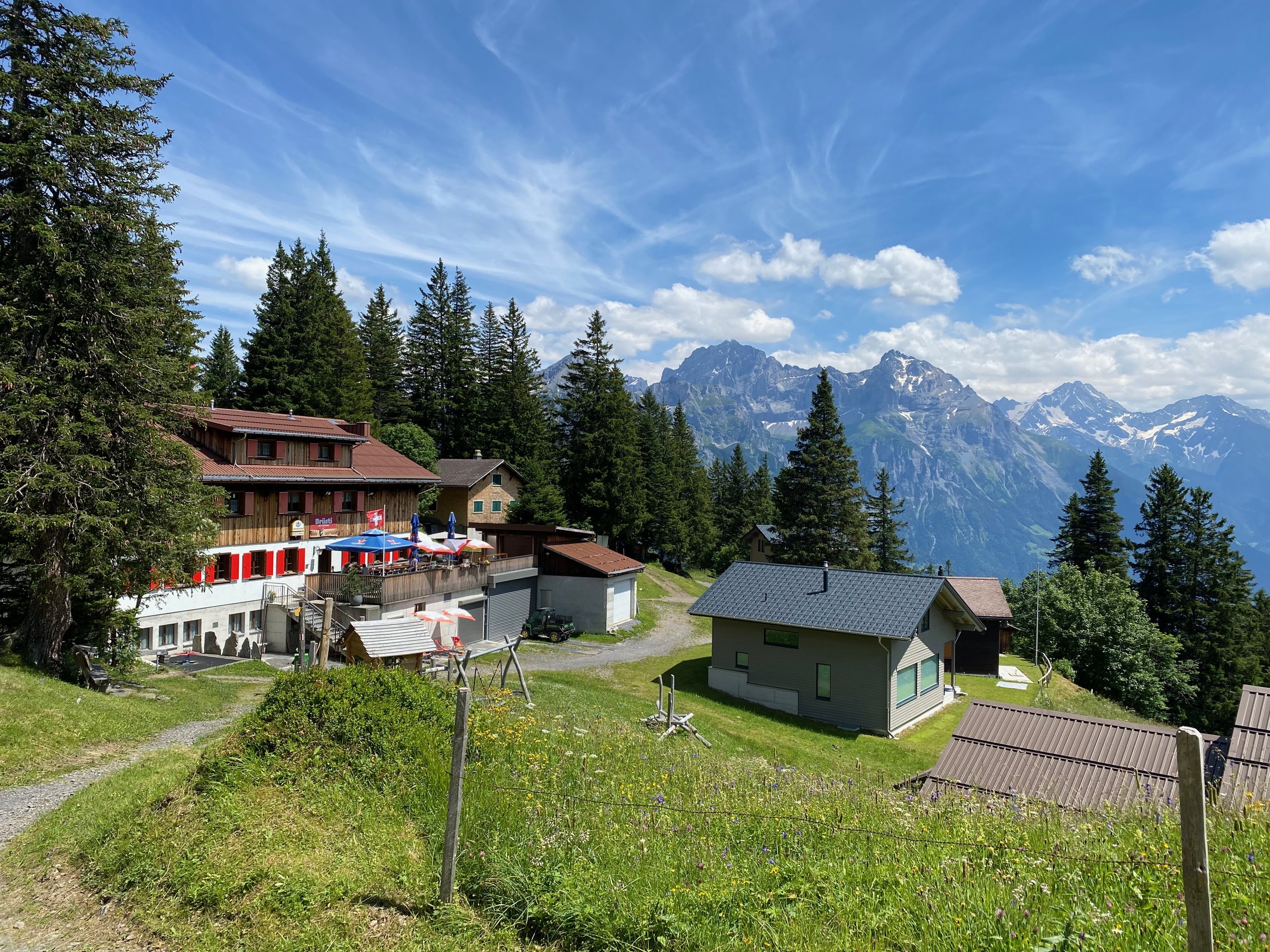
Brusti
View west from Brusti
Day 1 - Brusti to Engelberg (10 July)
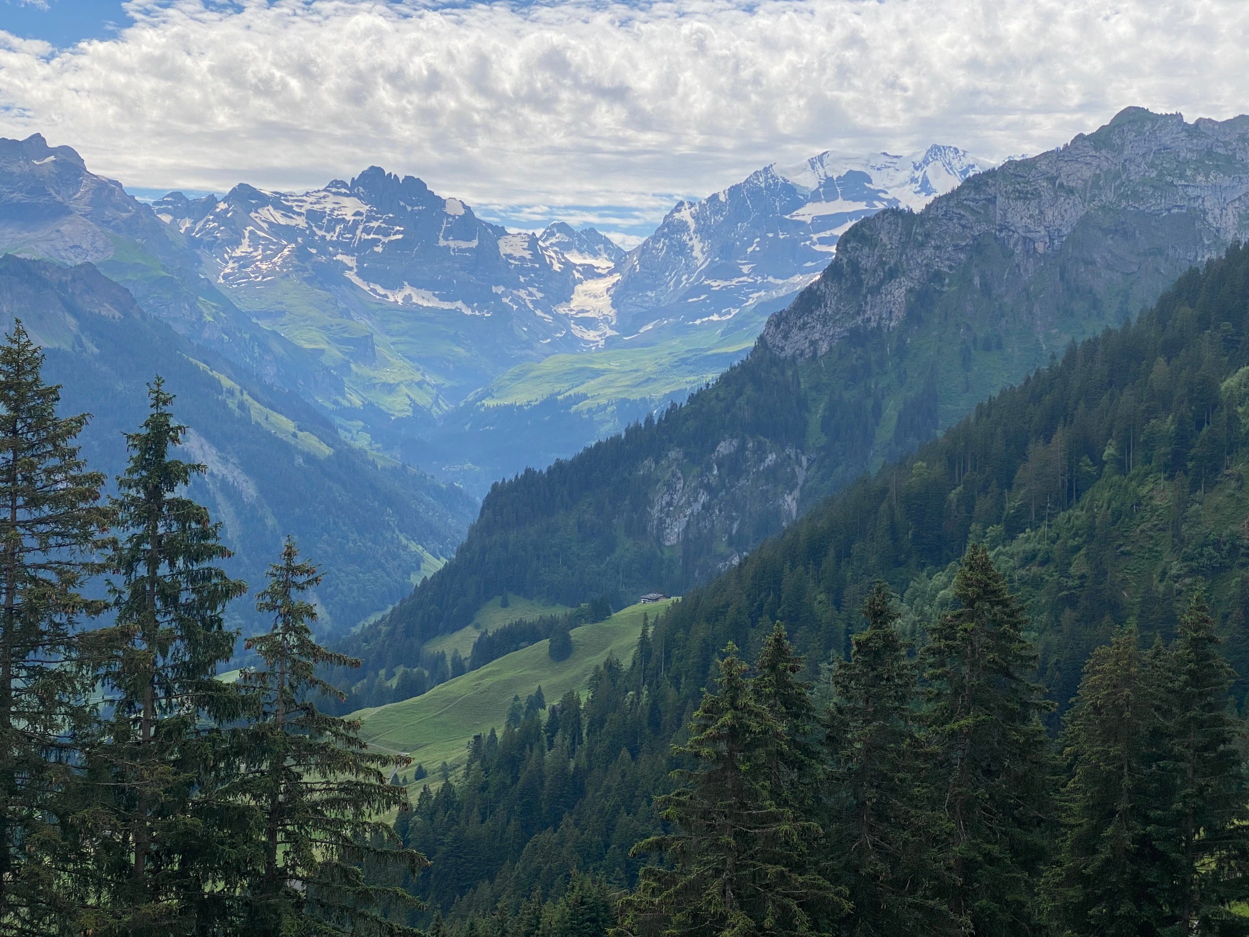
Brusti, at 1,528m, is a tiny, quiet hamlet comprising about a dozen holiday shacks. There’s only one commercial establishment, being Alp Catrina that provides dorm and private room accommodation. I stayed there on the night of 9 July, before my first day of walking on 10 July. The hotel has a superb location overlooking a valley and the snow-capped mountains that soar up from the valley. The hotel’s outdoor deck makes full use of the view and the hosts were friendly and welcoming. Despite all that, I was the only guest that night!
I couldn’t have wished for a better launching pad for my Via Alpina adventure.
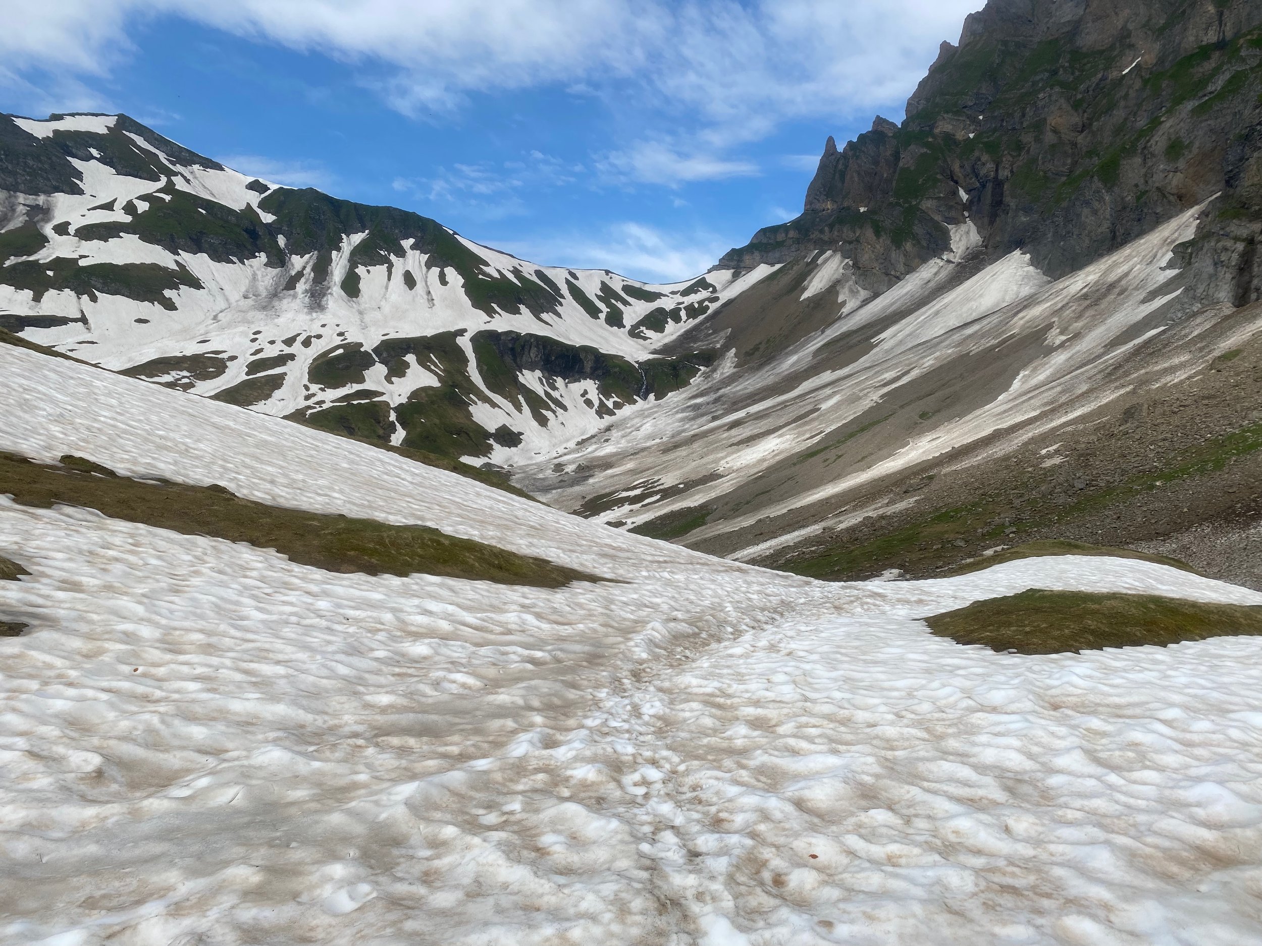
From Brusti, the path climbs up to Surenenpass. The climb to Surenenpass took me by surprise; at only 2,292m, it’s a lot lower than the main passes of the Haute Route so I was expecting a cruisy morning. In fact, mud, snow and ice made it quite a tricky ascent. The location of the pass was clear enough but the path was mostly hidden, meaning that you had to pick your way up the slope trying to find the best route.
On the way up, I joined two Italian brothers in their 20’s who were undertaking the Red Trail of the European Via Alpina. This is a different walk to the walk I was on - the Swiss Via Alpina. The Red Trail is an epic walk that follows the arc of the European Alps from Trieste to Monaco. For a while, the two walks overlap. The brothers were 40 days into a planned 80 day expedition. I was pleased to see that they seemed to find Surenenpass as challenging as I did. At the top, they requested a selfie, then farewelled me as their practice was to jog downhill. The advantages of youthful knees!
West of Surenenpass, it was misty but the track was easy to follow. The day’s climbing was done and it was an easy 4 hour/18km meander down to Engelberg. Engelberg is a substantial, and quite grand, mountain resort. It boasts a large Benedictine monastery and is the base station for several gondolas and chairlifts. I would have liked to explore Engelberg, but my chosen budget accommodation was on the far side of town. Once I’d stopped and showered, my tired legs wouldn’t contemplate the walk back into town.
Towards Serenenpass
Afternoon tea at Berggasthaus Stafeli
Day 2 - Engelberg to Meiringen (11 July)
Engelberg to Meiringen is 34.5km, including 2,000m of ascent and 2,400m of descent. So, if you’re relying entirely on your feet, it’s usually two days of walking. However, there are plenty of cable cars at the start and finish. Using those, it’s quite feasible to bite off this chunk in one day.
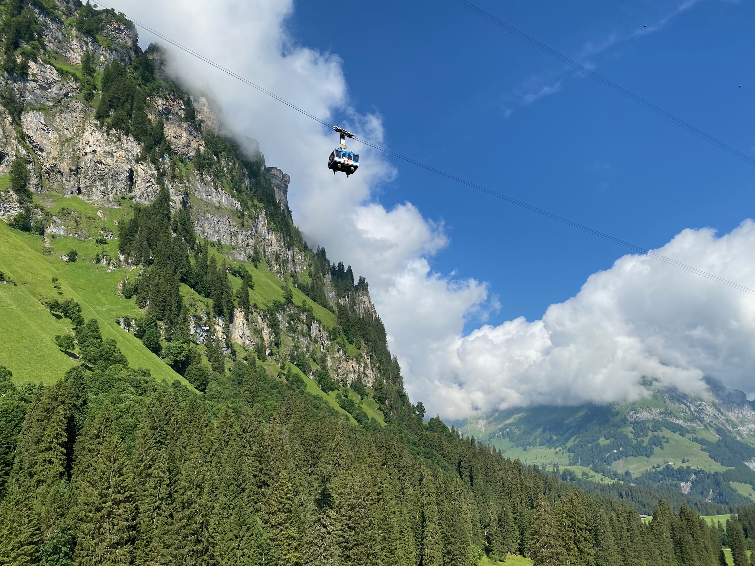
My day started with the cable car from Engelberg to Berghotel Trubsee. A classic Swiss cable car ride - you drift along above lush pastures for a while, then pass through a forest corridor, before somehow surmounting a vertical rock face. From Berghotel Trubsee (1,788m), the mighty peak of the area, Titlis (3,238m), dominates. A chairlift offers further assistance to Jochpass (2,208m).
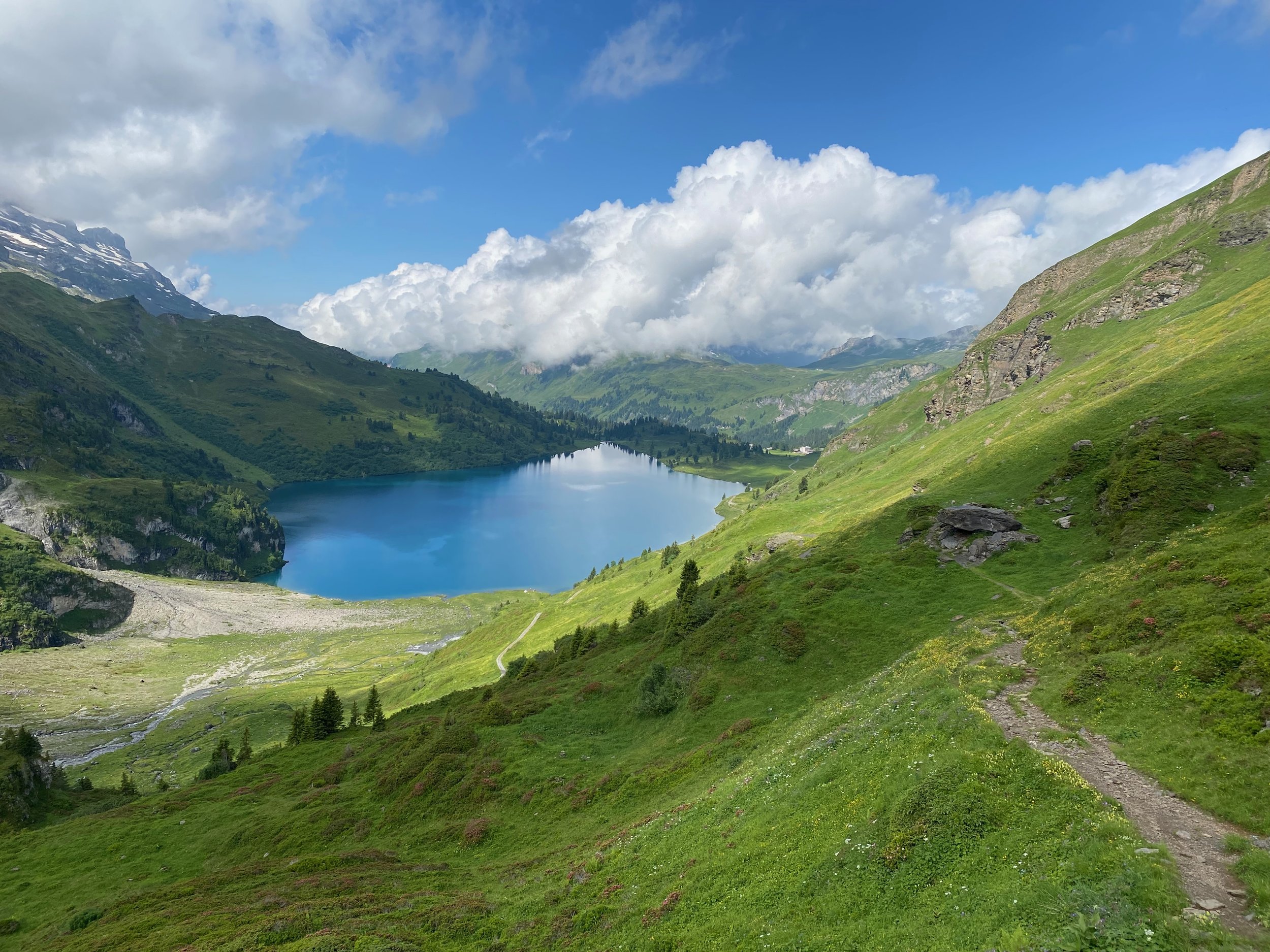
Morning mist shrouded Jochpass, so Titlis and the string of 3,000m peaks that run west of it were obscured from view. There was also a cold wind at the pass, so I hurried on towards Engstlenalp. Hotel Engstlenalp is a charming Victorian hotel beautifully located among mountain pastures at the head of the Gental valley. It’s long been an overnight or refreshment stop for walkers. Following tradition, I gorged on apple pie with copious lashings of cream.
From Engstlenalp, there are three alternative routes to Meiringen. I was very keen to do the high route - the epic Erzegg/Planplatten ridge that offers 360 degree views from a narrow, rollercoaster path. My guidebook advised avoiding the route in poor weather, but I had an overcast day with no rain forecast. At Hotel Engstlenalp, I’d seen a sign indicating the ridge route was closed, but the sign looked old and my enquiries of the hotel staff were inconclusive. So, it was to the high route I headed.
A couple of hours beyond the hotel, I reached a rocky saddle at about 2200m. Mist was swirling through the saddle, but through the mist I could see a man standing before a sign that thundered in various languages ‘Track Closed’. Patrick was English and I guessed about 70. His walking mate, John, had taken the valley route and he was weighing up whether he should re-trace the last two hours and follow John, or push on. I said I was continuing on and would assess track conditions as I went. If I had to re-trace my steps, I would.
We went on together. After a bit, we came to a track segment of 50 metres where a mudslide had swept down over the path. You could see a makeshift trail that previous walkers had fashioned across the slide. It required some care but not undue risk. A little later we came upon another similar though shorter section. After that, it was plain sailing to the top station of the Planplatten chairlift from where the track wound its way in a straightforward fashion down to Reuti and then Meringen.
Patrick and I bounced down the hill buoyed by our successful traverse of the Erzegg/Planplatten ridge. Patrick was particularly chuffed as the previous day he had turned back half-way up Surenenpass when John had made it to the top. It would have been disheartening to have had to turn back two days in a row and now he had evened the score with John!
Meiringen is famous for its inclusion in the Sir Arthur Conan Doyle’s Sherlock Holmes series. Meiringen’s spectacular Reichenbach Falls is the location for the fateful showdown between Holmes and his nemesis, Moriarty. You can stay at Das Hotel Sherlock Holmes, visit the Sherlock Holmes Museum and drink Moriarty cocktails!
Cable car to Trubsee
Towards Engstlensee and Engstlenalp
Day 3 - Meiringen to Grindelwald (12 July)
Today offers nugget after nugget, as the Via Alpina climbs up past Reichenbach Falls and then, via a narrow gorge, passes into the spectacular Bernese Overland region. There are several excellent refreshment opportunities along the way that will slow all but the most disciplined but the lure of the Wetterhorn (3690m) and then the Eiger (3967m) get you moving again.
In the morning, changeable weather proved a bit frustrating. Periodic showers meant coat on/coat off and limited glimpses of the approaching giants. Grosse Scheidegg marks the introduction to the Grindelwald basin and lies beneath the Wetterhorn. Unfortunately, my arrival coincided with another downpour and I retreated into Berghotel Grosse Scheidegg for gulaschsuppe.
I emerged as the sun broke through, causing the whole Grindelwald basin to burst into colour and the bordering snow-capped mountains to glisten.
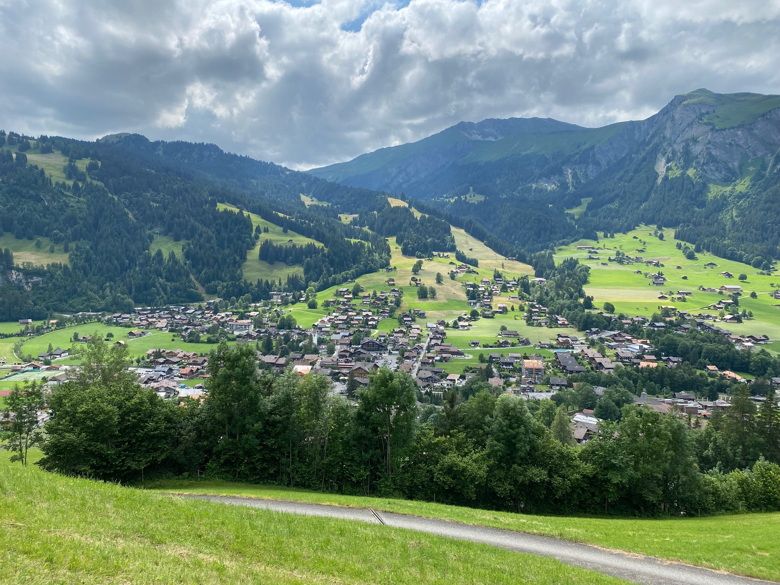
Grindelwald bustled with excited travellers, eager to make the most of their limited time. For the Via Alpina walker, it all feels a bit frenetic but there’s no denying that Grindelwald is blessed with a magical location and the Swiss have managed to develop extensive tourist amenities while still retaining something of the feel of a Swiss mountain village.
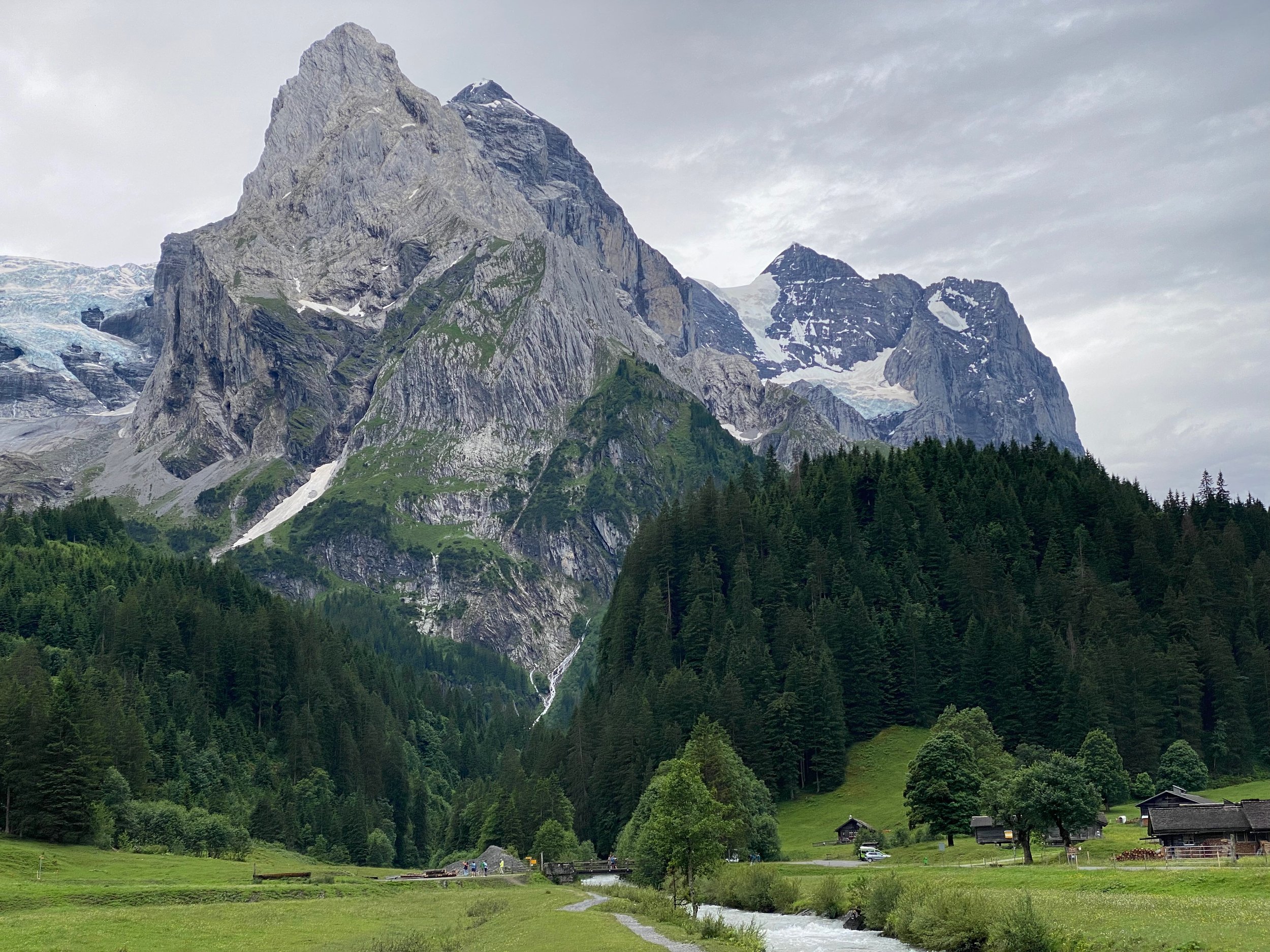
The Wetterhorn guards the entry to the Grindelwald basin
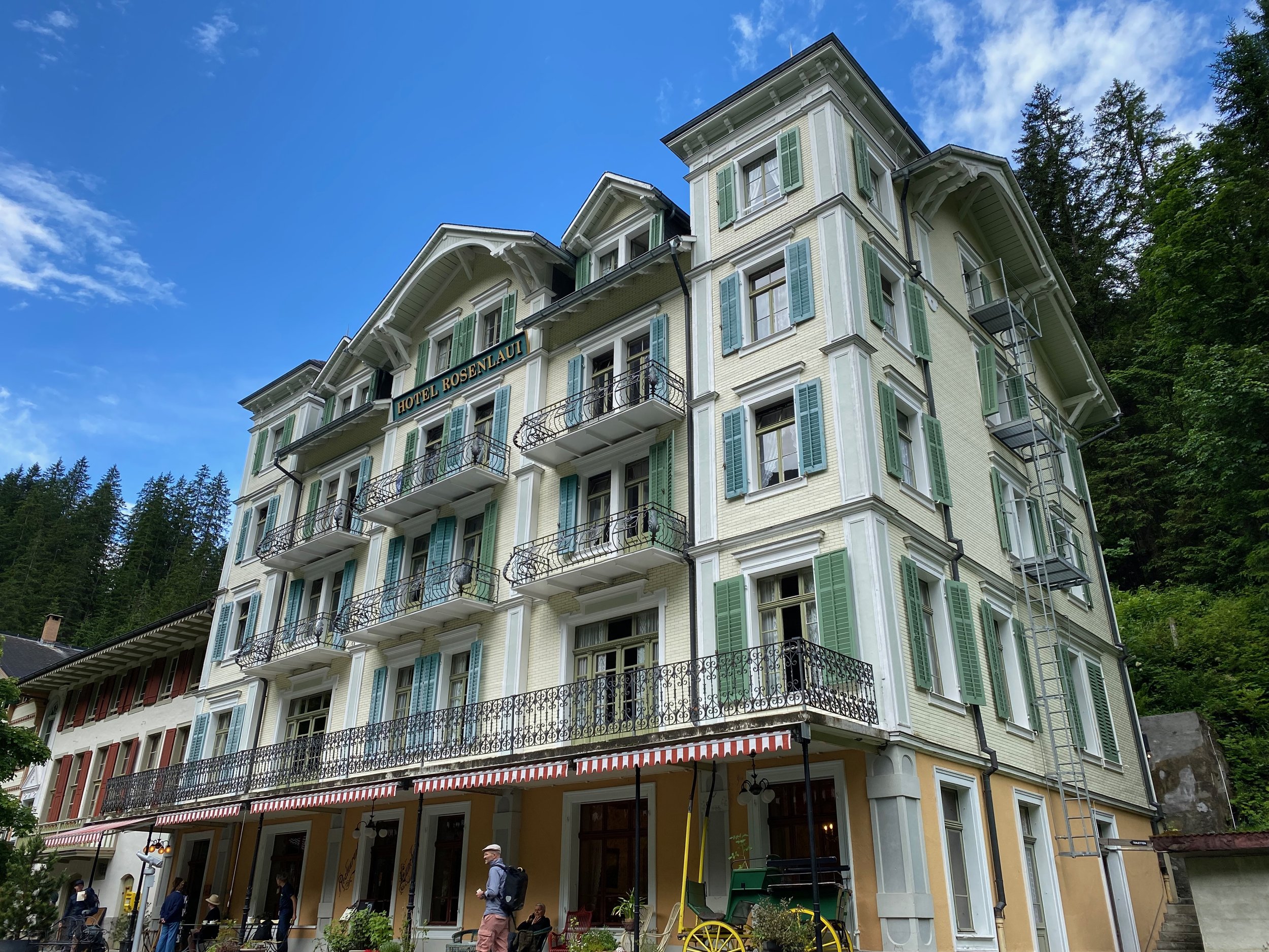
Morning tea at Hotel Rosenlaui
Day 4 - Grindelwald to Murren (13 July)
As I was planning on some mechanical assistance today, I was in no hurry to leave Grindelwald. I bumped into Patrick and John and they shouted me morning tea. They were doing the Via Alpina in two bites with Grindelwald being the end point of the first half. They weren’t sure when they would be back for the second instalment, but I suspect the 2025 season will see them walking westwards out of Grindelwald.
Having spent a few days walking in the area between Grindelwald and Lauterbrunnen in 2023, I’d decided to make this day a semi-rest day. So, I took the train from Grindelwald around to Lauterbrunnen and then walked the couple of hours from Lauterbrunnen up to Murren. It was a clear, sunny day and after climbing out of Lauterbrunnen I was rewarded with stunning vistas down into the Lauterbrunnen Valley and across to picturesque Wengen.
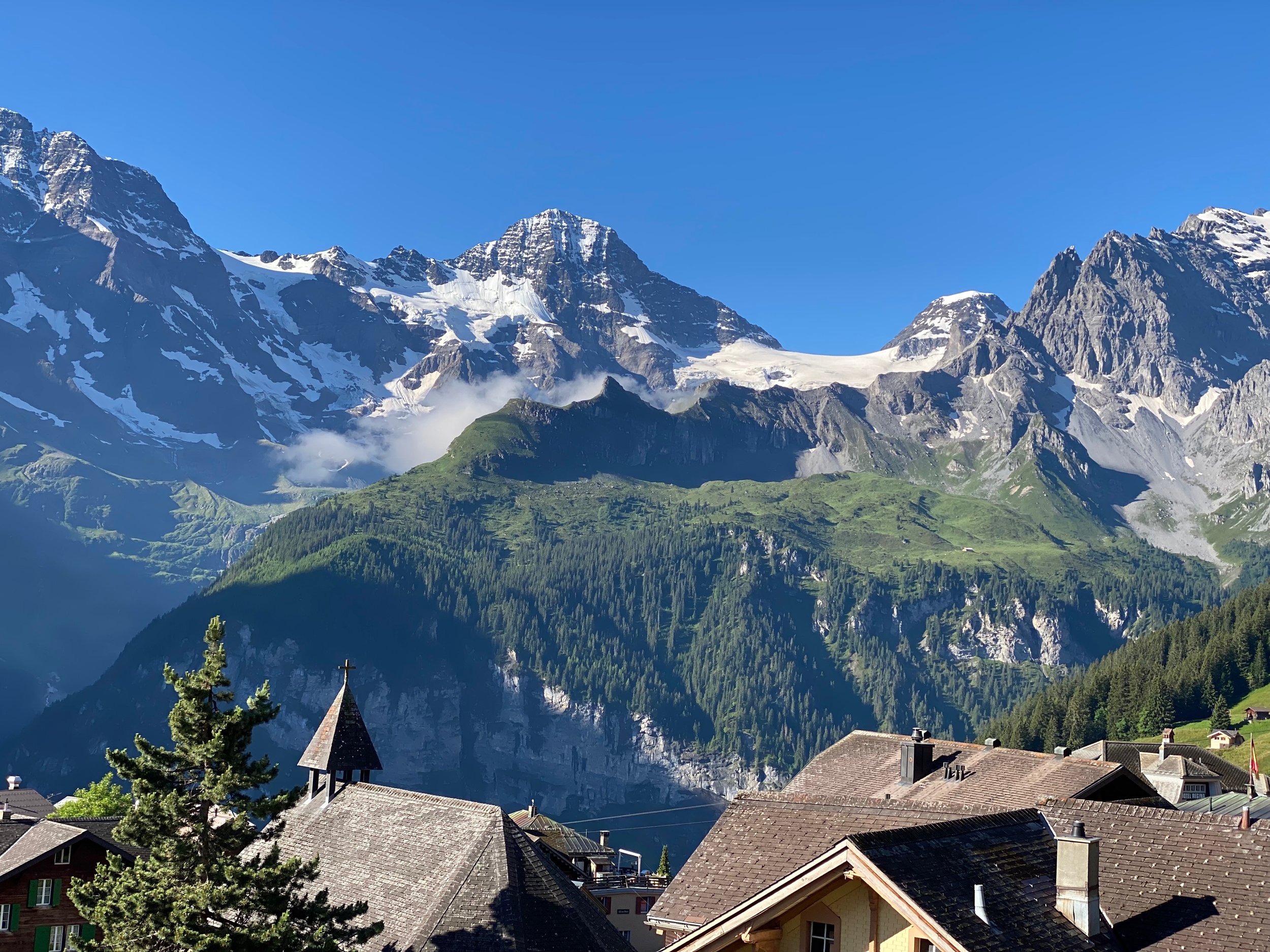
Murren is a charming town with a dress circle location. Perched on a ledge way above the Lauterbrunnen Valley, it offers an uninterrupted panorama of the cast of Bernese Oberland stars. On a clear summer’s evening as the light fades, the snowy peaks reflect the fading light with an array of pinks, reds and oranges.
Fun and games with Eiger, Monch and Jungfrau in background
Late afternoon in Murren
Day 5 - Murren to Griesalp (14 July)
I’d been looking forward to this day for a while. West of Murren, the Bernese Oberland becomes wilder and more remote. The first pass, Sefinafurgga, at 2611m is the highest pass of the Via Alpina to this point.
The Grindelwald/Wengen/Lauterbrunnen/Murren region is wonderful but it felt good to be back in the exclusive domain of the walker. The weather was as perfect as the previous day - clear, still and sunny. At 11am, when I stopped for iced tea at Rotstock Hut (2039m), it felt like about 20C.
The climb to Sefinafurgga was moderate. The last 500m or so involved a reasonable amount of snow and shale but it wasn’t as difficult as Surenenpass. The last 100m is very steep but wooden stairs ease the challenge. On a clear day such as this one, the reward from the top is rich - sumptuous views back to the quartet of Wetterhorn, Eiger, Monch and Jungfrau.
The initial descent from Sefinafurgga is also steep and passes over a vast expanse of loose black shale. However, well-constructed steps again lend plenty of assistance and before too long greenery returns and the landscape softens.
Griesalp is an unexpected oasis. I’d expected a village but it’s really just four or five buildings all offering comfortable accommodation clustered around an outdoor square. Just nearby is an attractive river, gorge and woodland.
I arrived mid-afternoon. Perhaps because it was Sunday, a pianist was entertaining guests in the square. Every second person seemed to be gorging on an ice-cream sundae so I thought it best to blend in.
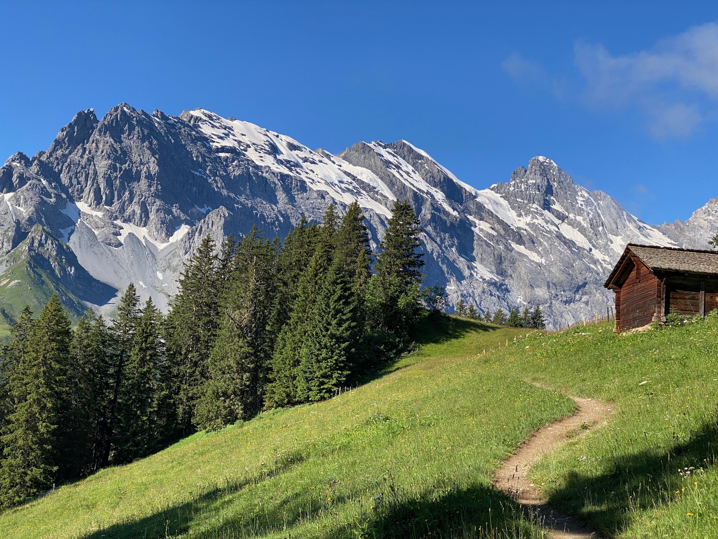
On way to Sefinafurgga
View back to Wetterhorn, Eiger, Monch and Jungfrau from Sefinafurgga
Day 6 - Griesalp to Kandersteg (15 July)
This is another mouth-watering day. The usual route from Griesalp to Kandersteg traverses the Hothurli, a pass which (at 2835m) is the highest point on the Swiss Via Alpina. The Hothurli pass is usually cited as the most demanding pass of the VA and provides a singular panorama to a vast, dramatic alpine region.
Unfortunately, there was signage at Griesalp that the track to the Hothurli was closed and the manager of my hotel was emphatic that it was currently forbidden for walkers to attempt the Hothurli. On Day 2, I’d persisted on the Erzegg/Planplatten ridge in the face of track closed signage but the height and terrain of the Hothurli made it a more challenging proposition.
I reluctantly accepted the situation and caught a morning bus north-west to Kiental from where I joined Panoramaweg 56 that meandered through pleasant alpine pastures and forest for six hours. The route kept well above the valley but never reached great heights, literally or metaphorically.
Kandersteg is popular amongst those looking for a centre-based walking holiday. It’s surrounded by mountains criss-crossed with walking tracks and has a good array of accommodation and eateries. A cable car takes you within a stroll to Oeschinensee, one of Switzerland’s most beautiful mountain lakes. One of the attractions of the Hothurli route is that it passes around Oeschinensee. Sadly, my detour meant that I missed the lake. Hothurli and Oeschinensee remain unfinished business!
En route to Kandersteg on Panoramaweg 56
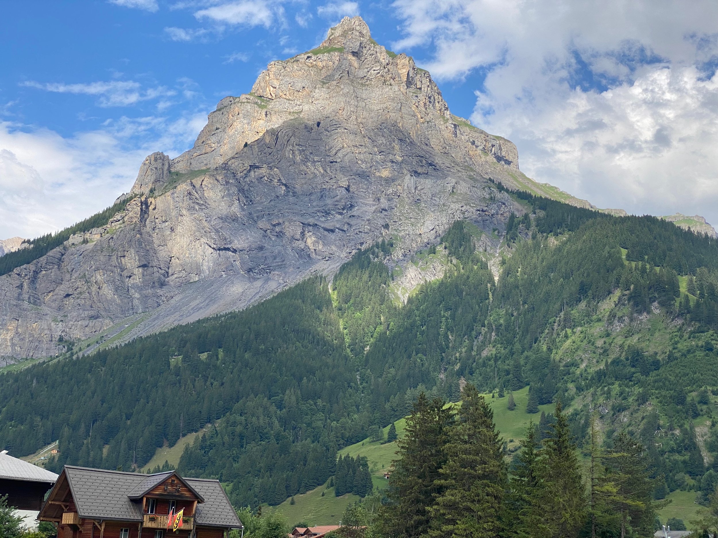
Kandersteg lies just below Dunderhorn (2861m)
Day 7 - Kandersteg to Adelboden (16 July)
It was overcast and misty this morning but the passing showers largely left me alone. As usual, the morning’s mission was a climb out of the previous night’s valley, this time the Kandertal. The mist was low-lying, meaning that I’d cleared it after an hour and the vista down into the valley was akin to the view from an aircraft once it has cleared a cloud layer.
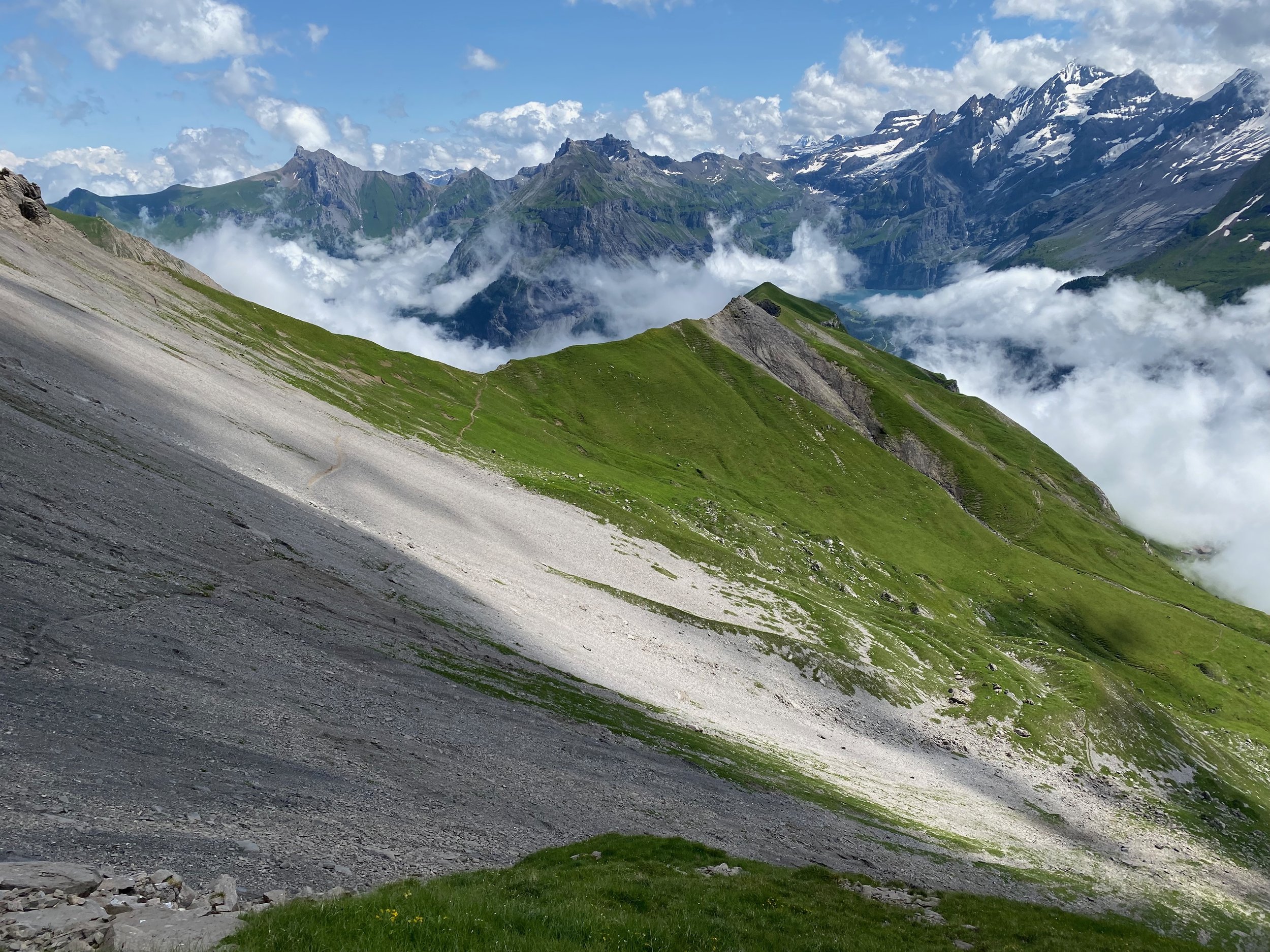
Today’s pass is called Bunderchrinde and it sits at 2382m. It’s a small indentation in a jagged ridge. The final approach is across a steep scree slope that requires care. From the pass, the unfinished business of Hothurli and Oeschinensee were clearly visible; I almost felt as if I was being teased.
The western side of the pass requires negotiating further expanses of scree. Once through, the alpine pasture returns and the way becomes more relaxed. Adelboden is visible from a long way out - always heartening to spot your destination.
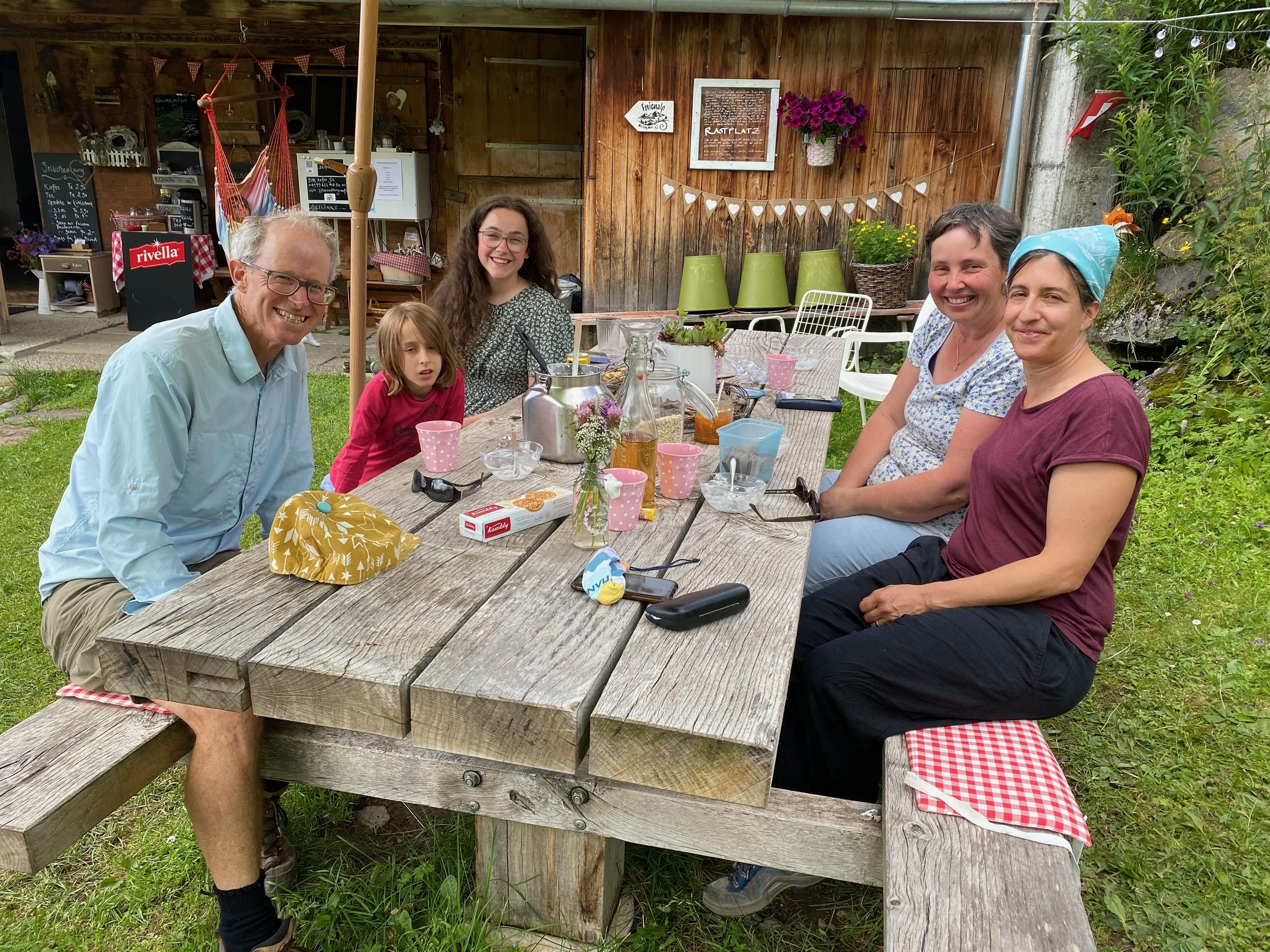
Half-way down, with the day’s exertions in hand, I stopped at an old shepherd’s hut where a grandmother, mother and daughter team was offering snacks. It was mid-afternoon but I was their first customer that day and, in response to their query, I had to tell them that I hadn’t seen anyone behind me. They didn’t seem too fussed and plied me with home-made yoghurt and biscuits. We sat in the sun chatting for an hour.
After that, a friend of the snacks team insisted on accompanying me onwards so that I could visit Engstligenfalle, a waterfall located at the head of a valley south of Adelboden. It was a detour, but I was assured not a long one. My guide, who spoke no English, bowled along for 45 minutes as I struggled to keep up. By this time, the waterfall was quite visible and, indeed, it was impressive. However, my guide seemed very keen that we get to the very drop of the waterfall. As we walked further and further in the opposite direction to Adelboden my enthusiasm flagged. Eventually, I acted out my satisfaction with our proximity to the waterfall and my exhaustion and she reluctantly assented to the u-turn necessary to get me to Adelboden.
Scree traverse on approach to Bunderchrinde
Afternoon tea at shepherd’s hut
Day 8 - Adelboden to Lenk (17 July)
An easy day today, as this leg takes about 4.5 hours and the total ascent is only 680m. My guidebook describes an alternative route that includes a waterfall, but I’d had my fill of waterfall detours yesterday. Plus, I’d heard that Lenk is an attractive town so I thought I should leave time to take it in.
The best part of the day was the first couple of hours up to Geils. This segment follows a stream through woodlands, that are only occasionally disturbed by skiing infrastructure. From Geils, the route to Hahnenmoospass follows a road upwards through pastures. The gondola to the pass is close by. It’s popular with mountain bikers many of whom wizzed past me at breakneck speed on their way down.
Lenk is indeed an appealing town and would make another excellent base for a single-centre walking holiday.
Snoozing cabin atop Hahnenmoospass
Entering Lenk
Day 9 - Lenk to Gsteig (18 July)
From Lenk, I took an alternative route that would allow me to get to Montreux in four days rather than the five days that the official Via Alpina route typically takes. There were a few reasons for this choice, mainly: (1) I only had four days left; (2) my guidebook indicated that the alternative route stayed higher and was more appealing generally; and (3) the official route went through Gstaad and the Swiss tennis open was being played in Gstaad (hence crowds and no hotel availability).
I chopped off two hours of climbing today by starting the day on the Betelberg gondola from Lenk to Leiterli. Reducing the day’s walking from eight hours to six hours held obvious appeal, but I was also swayed to this option by my guidebook’s glowing description of the path from Leiterli to Trutlisberg Pass.
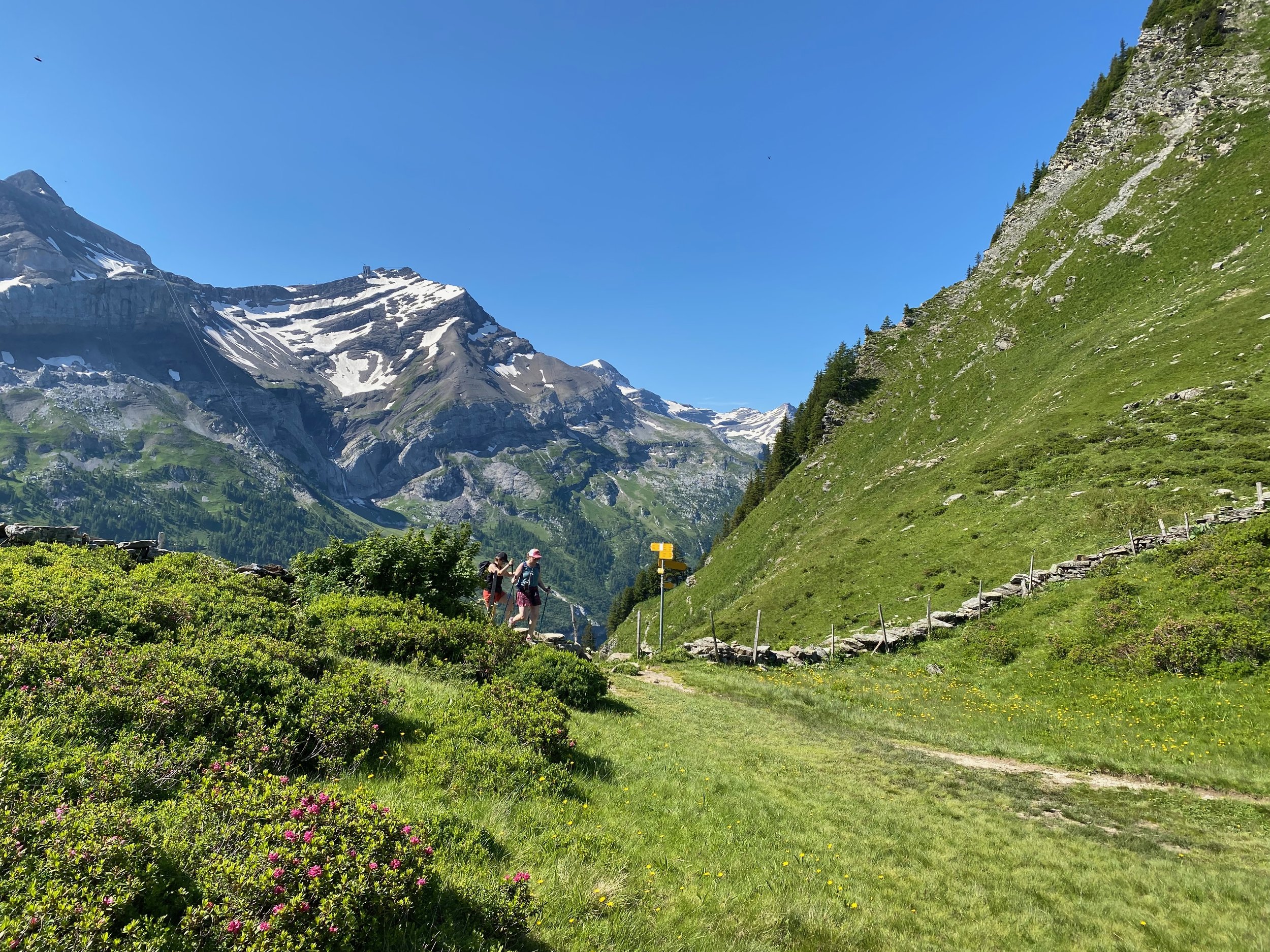
My guidebook was right - that first hour or so was a highlight of the entire VA. The route passes along a high ridge. To the south is an extended wall of majestic 2000 - 3000m mountains; to the north, weird-looking eroded limestone ridges fall steeply away into a cacophony of irregular hillocks. It looks like a world that hobbits might occupy; in fact it’s popular marmot country.
It’s also wild flower territory and swathes of colour filled the protected hollows and basins.
For the first few hours today, despite the attractions of the walk terrain, I saw no more than four other people (all walkers).
I hadn’t been able to find accommodation in Gsteig so I bussed from there down to Les Diablerets. It was frustrating to have to leave the trail but apparently the tennis in Gstaad was soaking up much of the local accommodation.
Fellow walker near Trutlisberg Pass
Les Diablerets
Day 10 - Gsteig to Col des Mosses (19 July)
I was clearly developing an appetite for short-cuts. This morning, rather than bussing all the way back to Gsteig, I alighted from the bus early and took a path up to Col de Vore. This again reduced the day’s exertions from 8 hours to 6 hours. My only excuse this time was that I knew the following day was going to be a long one.
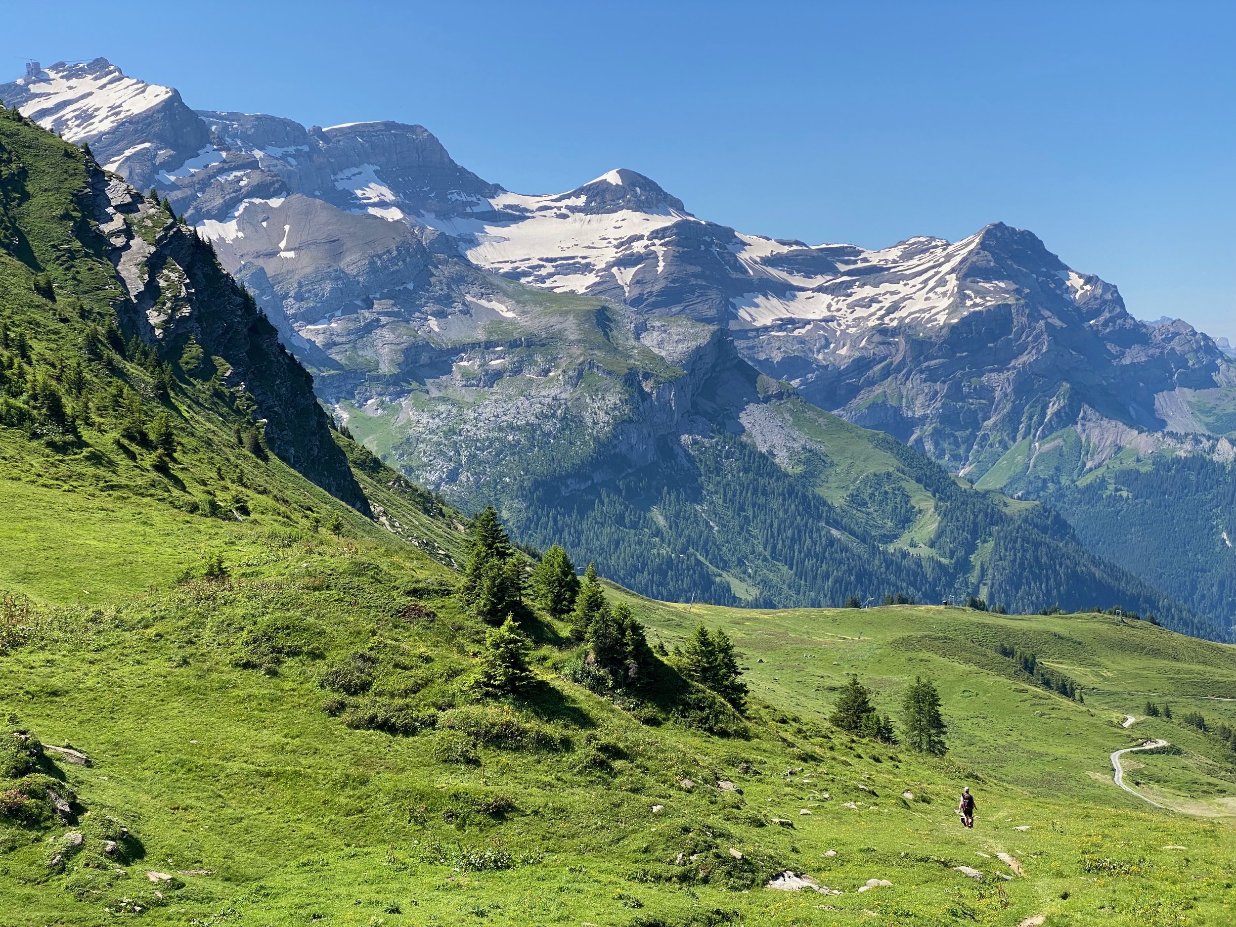
The walking is again superb with constant close-up panoramas of the Les Diablerets mountain range, set off by a perfectly blue sky backdrop. From Col des Anderets (2030m), there are distant views of the famous Bernese peaks far to the east .
Col des Mosses is a convenient overnight spot but offers little other than rest and sustenance.
Col de Vore
Les Diablerets mountain range
Day 11 - Col des Mosses to Glion (20 July)
I had wanted to finish this day at Rochers de Naye but I’d not been able to find accommodation there. I’d then looked at accommodation options further down the route and had struck out until Glion. Glion is 2.5 hours walk beyond Rochers de Naye and a mere 1.5 hours walk from the Via Alpina’s finish in Montreux.
Montreux’s renowned jazz festival was to blame for the scarcity of beds. For two weeks, the festival attracts thousands and 20 July was the final night of the 2024 edition!
Walking time from Col des Mosses to Glion is about 10.5 hours. Not ideal. I pored over the map and found an alternative that followed a minor road around the shoreline of Lac de l’Hongrin. This route shaved an hour off. 9.5 hours sounded a whole lot better than 10.5!
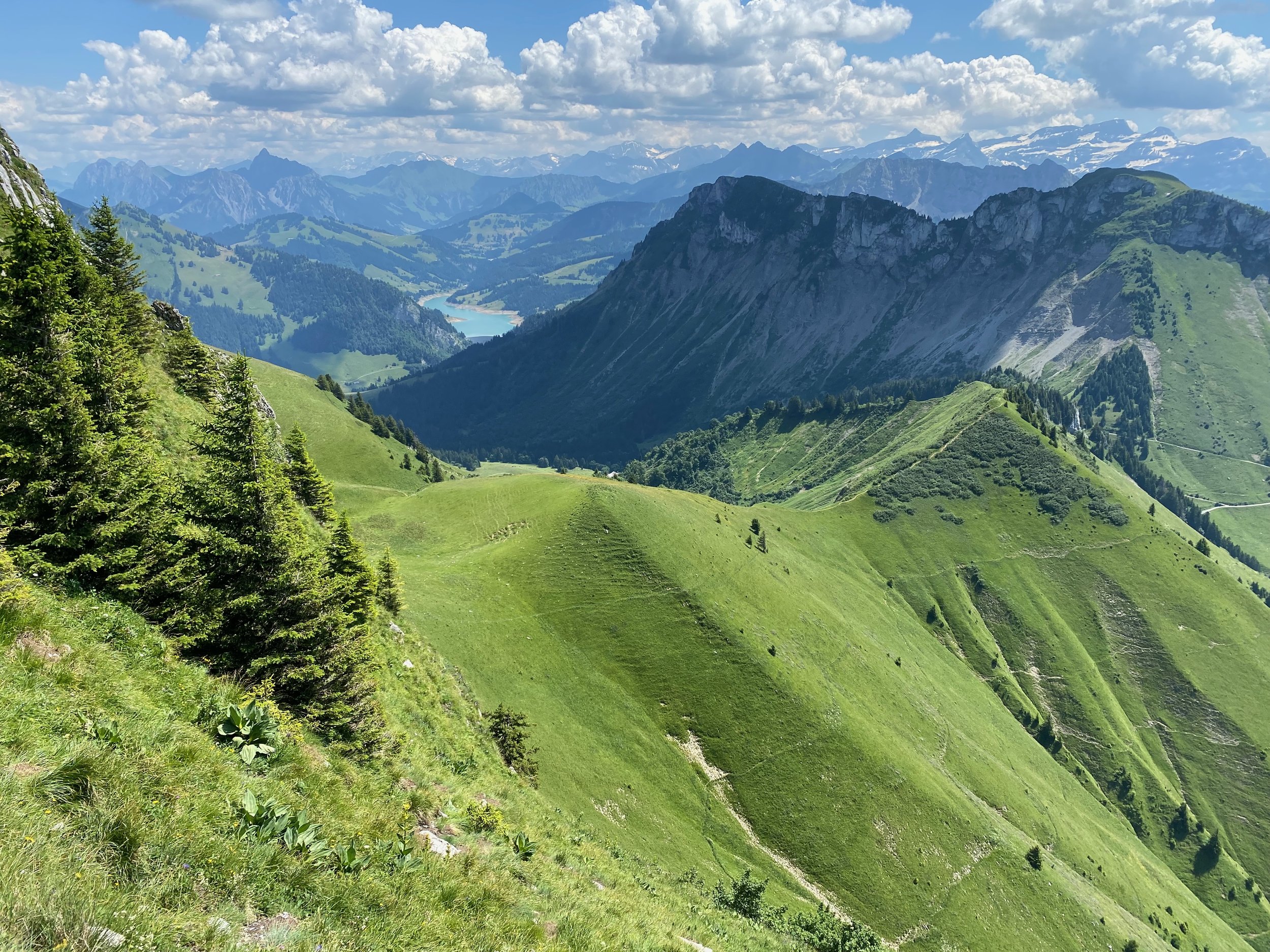
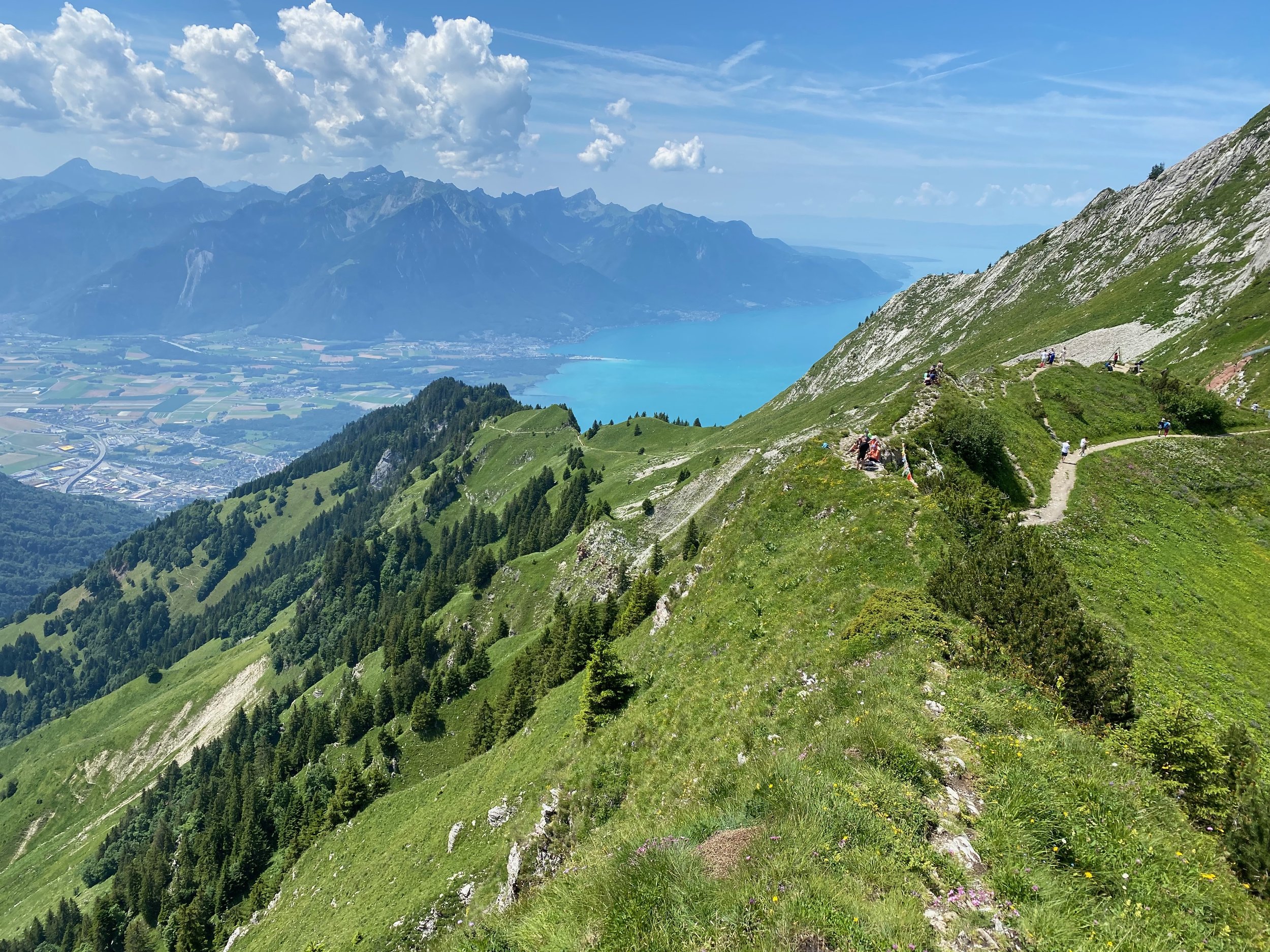
While the passes on this day are a bit lower than on previous days and the nearby mountains less dramatic, there’s plenty of entertainment on this last full day. Views of Lac Leman (aka Lake Geneva) appear regularly from Col de Chaude. And as it’s another clear day, I could see the Mont Blanc massif to the south of the lake. By early afternoon it’s hot (mid 20’s) and a steep, narrow path between Col de Chaude and Rochers de Naye gets the persperation streaming.
The descent from Rochers de Naye to Glion is busy with walkers. This is a classic outing from Montreux and it’s a sunny Saturday. Numerous birdseye views of Lac Leman stop me in my tracks.
I reach Glion late afternoon. Glion is 450m above Montreux but only a kilometre or so as the crow flies. My hotel has a garden balcony that provides stunning views down to the town and lake. More importantly, it has a pool and I’m in it within seconds.
That night, I fell asleep to the sounds of Duran Duran drifting up from the lake.
Narrow path to Rochers de Naye
Lake Geneva from Rochers de Naye
Day 12 - Glion to Montreux (21 July)
It’s an easy stroll down to Montreux this morning. Montreux oozes money and sophistication but as I reach the festival precinct it has a decidedly “morning after” look to it. Roadies and street cleaners are wearily commencing their gargantuan tasks.
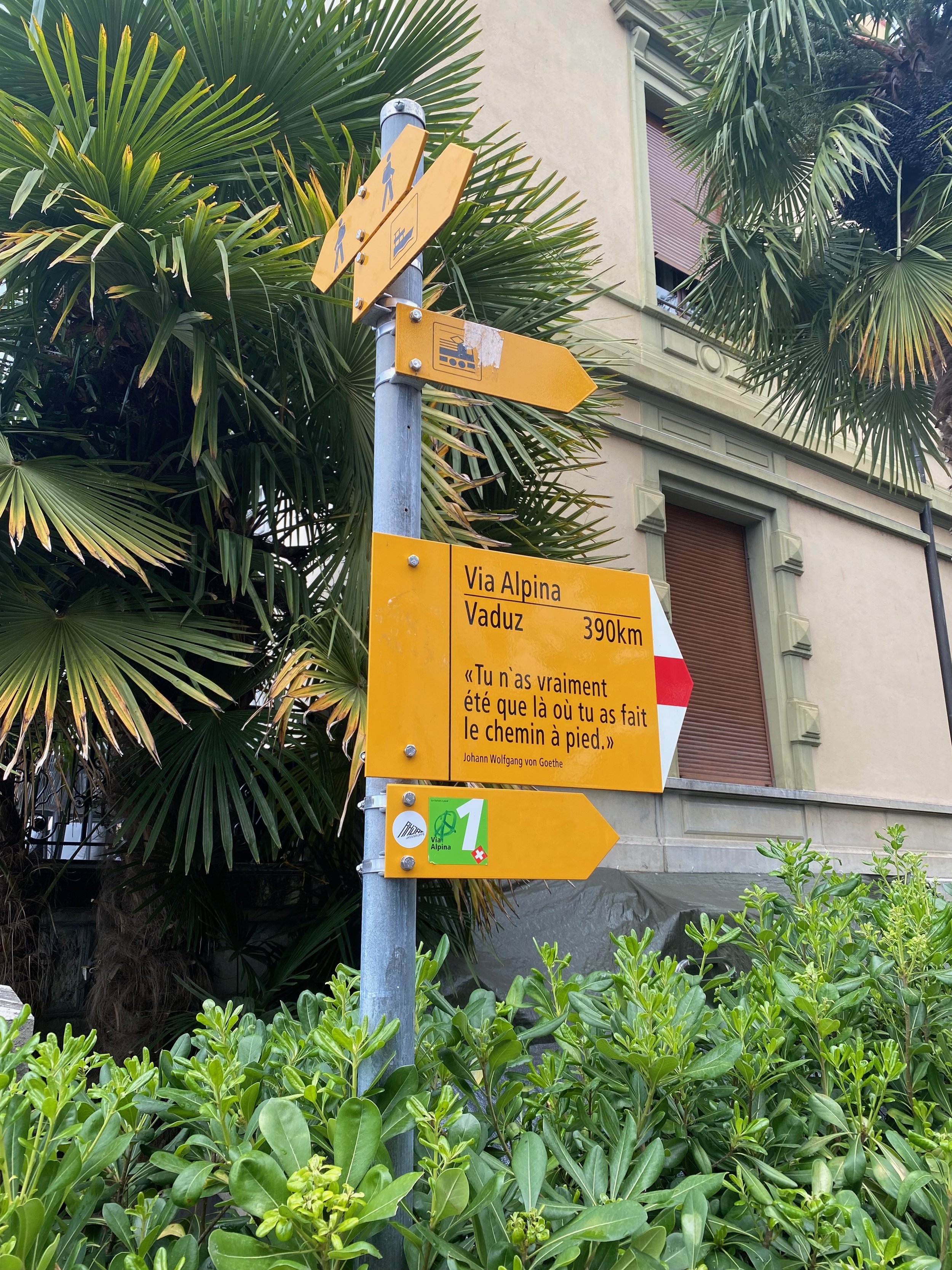
It’s very satisfying to arrive at the lake’s edge and reach the last signpost for the Via Alpina. It points back the way I’ve come, to the east, showing Vaduz (the other end of the VA) a mere 390km away. I’ve thoroughly enjoyed this walk and I reflect on the bits I had to skip and the 120km I omitted from the eastern end. I will have to come back.
For now? Lausanne is my destination that night and it’s only mid-morning. I see there are trails leading from Montreux, around the lake, to Lausanne. Hmm… 30km, mainly flat, I may as well walk there!
Lake Geneva on descent to Glion
Final Via Alpina signpost in Montreux.


