Via Alpina
Highlights:
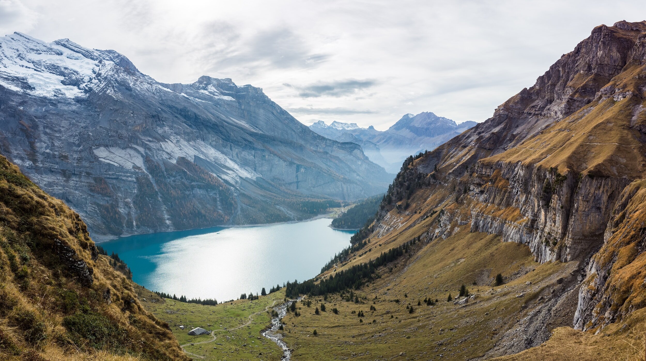
Magnificent mountain and alpine scenery
Famous peaks of the Bernese Oberland
Lush valleys and gorges, lakes and waterfalls
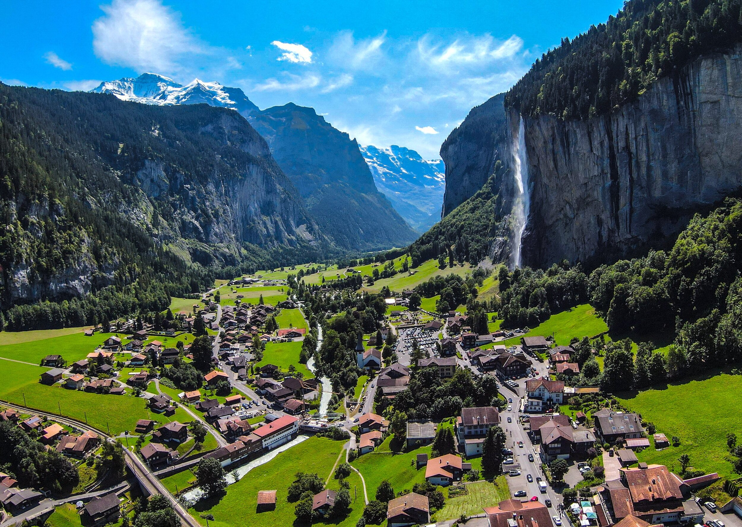
Attractive mountain villages, incl Elm and Murren
Brief:
⏱ Duration: 17+ days (lesser where doing segments)
🗺 Distance: 386 km (or segment distance)
⛰ Difficulty: Moderate - Challenging (segments vary)
🗓 Best Time: July - September
🛏 Accomm: Gasthofs/Inns/Hotels/Mountain huts


Via Alpina Overview
This is one of those epic walks that has its inspiration in the idea of crossing the entirety of a country. England has its Coast to Coast and Hadrians Wall Path, France has its GR10 along the Pyrenees and Spain has its caminos. In the case of the Via Alpina, the route is also driven by the location of the Swiss Alps. The route skims along the northern face of the Alps, providing ongoing vistas of Switzerland’s mightiest mountains.
The walk commences in the east, at Sargans (near Lichtenstein). Its 386 km route is broadly south-west with its conclusion being the town of Montreux on Lac Leman (also called Lake Geneva).
The central section passes through the Bernese Oberland and is (justifiably) very popular. The village of Meiringen heralds this section of the walk where up close views of the Wetterhorn, Eiger, Monch and Jungfrau are available. The Grindelwald basin opens up after Grosse Scheidegg, offering tempting side trips for those with the time and a night (plus possibly a rest day) is usually spent in the thriving town of Grindelwald.
East of the Bernese Oberland, the country is less well-known and quieter. Pastoral activities feature in the peaceful valleys. But there are still six substantial passes to surmount on the way to Meiringen so it’s no cake-walk. While less hyped than the central section, the attributes of this region are very substantial and some walkers nominate this section as their favourite.
Immediately west of the central Bernese Oberland section, the going is challenging, with the climbs to, and descents from, both Sefinenfurke (2,612m) and Hohturli (2,778m) generally regarded as the most demanding of the entire Via Alpina. Although not far behind is the next pass, Bunderchrinde (2,385m), which is a notch in a ridge wall preceded by a an extensive scree slope. After this section, the difficulty level eases somewhat and the peacefulness of the eastern section of the walk is recovered.
Many walkers choose to tackle a segment of Via Alpina. People have different views as to the best segment, but really it comes down to what you like, your walking abilities and, of course, how many days you can allocate to the walk.
Assistance and further information:
For assistance in walking all or part of Via Alpina, click the button below.
For information on other walks in Switzerland, click the button below.